Standard Horizon CP180 Manuals
Manuals and User Guides for Standard Horizon CP180. We have 10 Standard Horizon CP180 manuals available for free PDF download: Owner's Manual, Installation And Operation Manual, Operation Manual, Dimensions

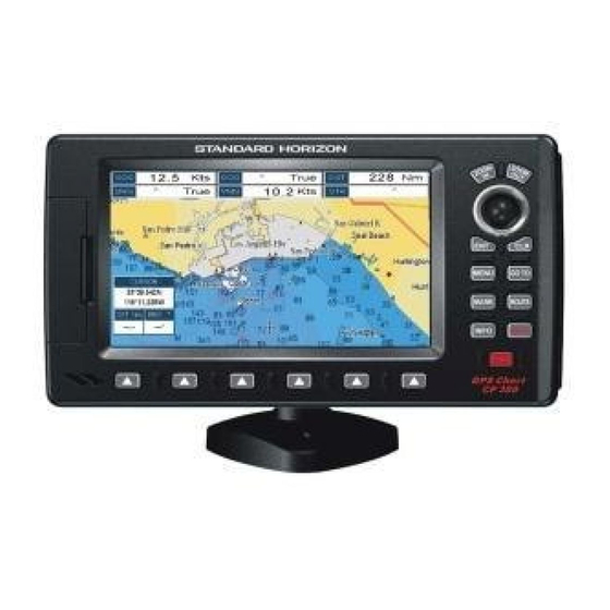
Standard Horizon CP180 Owner's Manual (138 pages)
Color GPS Chart Plotters
Brand: Standard Horizon
|
Category: Marine GPS System
|
Size: 3 MB
Table of Contents
Advertisement
Standard Horizon CP180 Owner's Manual (131 pages)
Brand: Standard Horizon
|
Category: GPS
|
Size: 8 MB
Table of Contents

Standard Horizon CP180 Owner's Manual (123 pages)
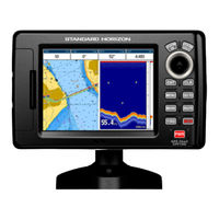
Color GPS Chart Plotters
Brand: Standard Horizon
|
Category: GPS
|
Size: 5 MB
Table of Contents
Advertisement
STANDARD HORIZON CP180 Owner's Manual (100 pages)
Color GPS Chart Plotters
Brand: STANDARD HORIZON
|
Category: GPS
|
Size: 4 MB
Table of Contents

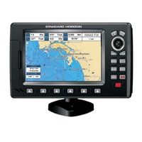
Standard Horizon CP180 Owner's Manual (92 pages)
Standard Horizon GPS Chart Plotters Owner's Manual
Brand: Standard Horizon
|
Category: GPS
|
Size: 4 MB
Table of Contents
Standard Horizon CP180 Installation And Operation Manual (45 pages)
Brand: Standard Horizon
|
Category: GPS
|
Size: 3 MB
Table of Contents

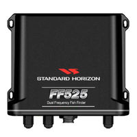
Standard Horizon CP180 Installation And Operation Manual (45 pages)
Dual frequency
Brand: Standard Horizon
|
Category: Fish Finder
|
Size: 2 MB
Table of Contents
Standard Horizon CP180 Operation Manual (32 pages)
50/200kHz Black Box Fish Finder
Brand: Standard Horizon
|
Category: Fish Finder
|
Size: 1 MB
Table of Contents

Standard Horizon CP180 Owner's Manual (20 pages)
Brand: Standard Horizon
|
Category: GPS
|
Size: 0 MB
Table of Contents

Standard Horizon CP180 Dimensions (1 page)
Standard Horizon CP180: Specifications
Brand: Standard Horizon
|
Category: GPS
|
Size: 0 MB