Sign In
Upload
Manuals
Brands
Topcon Manuals
Receiver
Pocket-3D
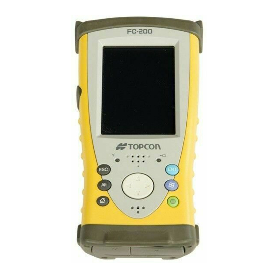
Topcon Pocket-3D Grading Software Manuals
Manuals and User Guides for Topcon Pocket-3D Grading Software. We have
1
Topcon Pocket-3D Grading Software manual available for free PDF download: Reference Manual
Topcon Pocket-3D Reference Manual (316 pages)
Brand:
Topcon
| Category:
Receiver
| Size: 10 MB
Table of Contents
Table of Contents
5
Preface
11
Terms and Conditions
11
Manual Conventions
14
What's New with Pocket-3D
17
Chapter 1 Installing Pocket-3D
23
Guide to Installing Pocket-3D
24
Starting Pocket-3D
27
Main Screen
28
Context (Pop-Up) Menu Options
31
Toolbar
34
Menu Bar
35
Pocket-3D Technical Information
38
GPS Status Information
39
GPS Status
39
Monitor GPS Status Information
40
View the Receiver's Current Position
40
Monitor Satellites and Enter the Mask
41
View Receiver Information or Reset Receiver
41
View PDOP Values
42
Apply GPS Receiver Settings
42
Total Station Status
43
Monitor Prism Position Information
44
Set Total Station Search Parameters
44
Set Total Station Tracking Sensitivity and Speed
45
Chapter 2 Setup Menu
47
GPS Applications
47
Equipment
48
Radios
52
Antenna
53
Base Station
54
Units
57
Exit
58
Equipment Configuration Files
59
Sample Configuration 1: Range-Pole with Hiper Lite Receiver
59
Mmgps Applications
64
Equipment
65
Mmgps Transmitters
65
TX Calibration
67
Edit Channel
69
Benchmark Check
70
Resection
71
Mmgps Receiver
73
Total Station Applications
75
Equipment
75
Range-Pole
77
Sample Configuration 4: Prism and Total Station
78
Robotic Applications
81
Equipment
82
Station Setup
84
Sitelink® 3D for Pocket-3D
90
The Site-Link Network Connection
91
Connecting to Sitelink-3D
92
Selecting the Current Operator
93
Managing Activities/Delays
93
Sending, Viewing, and Deleting Messages
94
Send any File to the Jobsite
96
Exporting a Project File Via Site-Link
97
Importing/Exporting Control Points Via Site-Link
100
Importing/Exporting Surface Files Via Site-Link
103
Importing/Exporting Alignment Files Via Site-Link
105
Importing/Exporting Linework Files Via Site-Link
107
Importing/Exporting Points Via Site-Link
109
Chapter 3 Data Menu
111
Project
112
Import/Export
114
Control
123
Control Points
123
Import/Export
126
From Text File
127
Conversion Formats
128
Control Point Options
131
Surface
134
Current File or <None
135
TIN Surface File
136
Road Surface File
138
Plane Surface File
149
Best-Fit Plane Surface File
150
Compare Surface
152
Surface Options
155
Alignment
157
Current File or <None
158
New
159
Edit
166
Delete
166
Import/Export
166
From RD3 File
166
From Landxml File
168
To RD3 File
168
Options
169
Layers
170
Linework
172
Current File or <None
172
Import/Export
176
Points
182
Listing
182
Conversion Formats
184
Export Point Files
190
Conversion Formats
192
Calculation Wizard
194
Inverse between Two Points
195
Inverse between Three Points
196
Distance/Offset
197
Distance from Two End Pts
199
Convert Polyline to Points
203
Convert Alignment to Points
205
Polyline from Points
208
TIN Surface from Points/Lines
210
Convert TIN Surface to Points
214
Convert Polyline to Alignment
215
Best-Fit Plane from Points
217
Compare Two Surfaces
218
Move Selected Objects
221
Copy Selected Objects
223
Clear Selection
225
Chapter 4 Survey Menu
227
GPS Survey Applications
227
Connect to Gps/Disconnect from GPS
228
Measure Points
228
Topo-Shot
229
Topo-Shot with Offset
230
Control Point
231
Reference Line
232
Start Polyline
234
Next Polyline Pt
235
End Polyline
235
Start Tape Dimension
236
Tape Dimension
237
Stop Tape Dimension
239
Options
239
Auto-Topo/Stop Auto-Topo
242
By Distance
243
By Time
244
By Elevation
245
Polyline
247
Stake-Out
248
Surface Check
249
Cut/Fill "Real-Time" Updates
250
Match Grade
253
Point List
253
Alignment
255
Polyline
260
Coordinate
261
Control Point
263
Create/Edit Custom Point List
265
Side Slopes
267
Measure Stake
270
Stake-Out Next Point
274
Stake-Out Previous Point
278
Stake-Out Next Point
279
Sideslope Options
279
Surface Offset
280
Options
281
Total Station Survey Applications
284
Connect/Disconnect Total Station
285
Measure Points
285
Topo-Shot with Offset
285
Options
286
Stake-Out
287
Options
287
Robotic Survey Applications
289
Start/Stop Tracking
291
Turn Face
292
Turn Instrument
293
Reflectorless Application
293
Chapter 5 Display Menu
295
Zoom
296
Cursor
297
Show
298
Orientation
299
Grid Lines
300
Show Section View
301
Cut/Fill History
302
Grade Indicator
303
Color Selection
303
Language Selection
305
About Pocket-3D
306
Options
306
Modify
307
Index
309
Advertisement
Advertisement
Related Products
Topcon LAZER ZONE PZL-1
Topcon LAZER ZONE PZS-1
Topcon PC-CDU
Topcon Paver Smoothtrac
Topcon PS Series
Topcon PS-101A
Topcon PS-102A
Topcon PS-103A
Topcon PS-105A
Topcon PS-102AC
Topcon Categories
Measuring Instruments
Medical Equipment
Receiver
Laser Level
Controller
More Topcon Manuals
Login
Sign In
OR
Sign in with Facebook
Sign in with Google
Upload manual
Upload from disk
Upload from URL