Garmin G600 Manuals
Manuals and User Guides for Garmin G600. We have 8 Garmin G600 manuals available for free PDF download: Pilot's Manual, Instructions Manual, Maintenance Manual, Reference Manual, Manual

Garmin G600 Pilot's Manual (410 pages)
Brand: Garmin
|
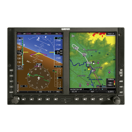
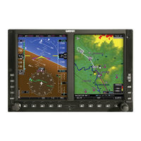
Category: Avionics Display
|
Size: 51 MB
Table of Contents
Advertisement
Garmin G600 Pilot's Manual (440 pages)
Brand: Garmin
|
Category: Avionics Display
|
Size: 25 MB
Table of Contents

Garmin G600 Pilot's Manual (240 pages)
Garmin G600 Avionics Display System Pilot's Guide
Brand: Garmin
|
Category: Avionics Display
|
Size: 13 MB
Table of Contents
Advertisement

Garmin G600 Instructions Manual (334 pages)
Integrated Flight Display for Aquila AT01
Brand: Garmin
|
Category: Avionics Display
|
Size: 16 MB
Table of Contents


Garmin G600 Reference Manual (104 pages)
Avionics Display Systems
Brand: Garmin
|
Category: Avionics Display
|
Size: 3 MB
Table of Contents


Garmin G600 Instructions Manual (14 pages)
Brand: Garmin
|
Category: Avionics Display
|
Size: 0 MB