Leica TPS1200 Getting Started Manual
Geocom
Hide thumbs
Also See for TPS1200:
- Technical reference manual (1406 pages) ,
- Reference manual (207 pages) ,
- Quick start manual (2 pages)
Advertisement
Quick Links
Advertisement

Subscribe to Our Youtube Channel
Related Manuals for Leica TPS1200


Summary of Contents for Leica TPS1200
- Page 1 Leica TPS1200 GeoCOM Getting Started Manual Version 1.0 English...
-
Page 2: Communication Parameters
This document is meant as an introduction for users who used the GSI-online protocol in the past, which is not supported by TPS1200 instruments anymore. For details about GeoCOM and detailed descriptions of GeoCOM commands please refer to the latest version of the TPS1200 GeoCOM man- ual. - Page 3 GSI-online GeoCOM conversion tables The following tables list GSI online commands supported by the TPS1000/1100 and the according GeoCOM commands that can be used as a replacement for TPS1200. <SPEC> <Parameter> FUNCTION GeoCOM command ASCII Request AutoOFF off SUP_SetConfig %R1Q,14002:1,0,600000...
- Page 4 <SPEC> FUNCTION GeoCOM command ASCII Request Hz Angle TMC_SetOrientation %R1Q,2113 :HzOrientation Prism Constant TMC_SetPrismCorr %R1Q,2024:PrismCorr %R1Q,2010:E0,N0,H0,Hi Station Easting TMC_SetStation %R1Q,2010:E0,N0,H0,Hi Station Northing TMC_SetStation %R1Q,2010:E0,N0,H0,Hi Station Elevation TMC_SetStation %R1Q,2012:Height Reflector Height TMC_SetHeight Instrument Height TMC_SetStation %R1Q,2010:E0,N0,H0,Hi <SPEC> FUNCTION GeoCOM command ASCII ASCII Request Response...
-
Page 5: Telescope Positioning
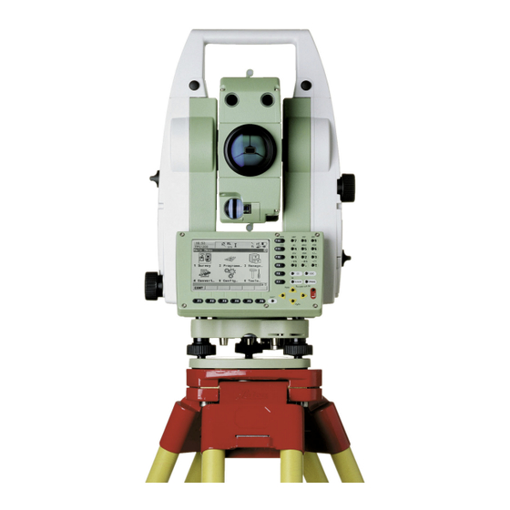
Telescope Positioning Command FUNCTION GeoCOM command ASCII Request CFACE Change Face AUT_ChangeFace %R1Q,9028: Posit/A/Hz/V Absolute Telescope AUT_MakePositioning %R1Q,9027:Hz,V Positioning Posit/R/dHz/dV Relative Telescope MOT_Posit %R1Q,6007:dHz,dV Positioning %R1Q,9029:Hz_Area,V_Area,0 Posit/S/Hz_Area/V_Area Prism Search AUT_Search... - Page 6 Whether you want to survey a parcel of land or objects on a construction site, determine measured points on facades or in rooms, gather the coordinates of a bridge or a tunnel– Leica Geosystems’ surveying instruments provide the right solution for every application.
Need help?
Do you have a question about the TPS1200 and is the answer not in the manual?
Questions and answers