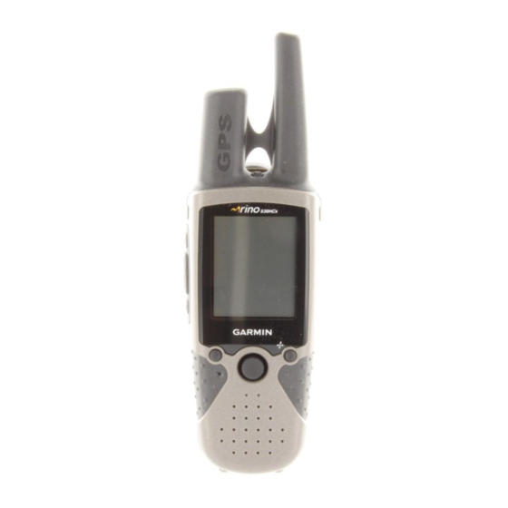
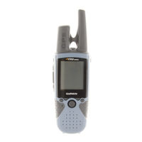
Garmin RINO 520 - Hiking GPS Receiver Manuals
Manuals and User Guides for Garmin RINO 520 - Hiking GPS Receiver. We have 5 Garmin RINO 520 - Hiking GPS Receiver manuals available for free PDF download: Owner's Manual, Quick Reference Manual
Garmin RINO 520 - Hiking GPS Receiver Owner's Manual (132 pages)
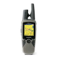
Two-Way Radio & GPS
Brand: Garmin
|
Category: Two-Way Radio
|
Size: 1 MB
Table of Contents
Advertisement
Garmin RINO 520 - Hiking GPS Receiver Owner's Manual (132 pages)
2-way Radio & GPS
Brand: Garmin
|
Category: Two-Way Radio
|
Size: 1 MB
Table of Contents
Garmin RINO 520 - Hiking GPS Receiver Owner's Manual (74 pages)
2-way radio and gps
Brand: Garmin
|
Category: Two-Way Radio
|
Size: 1 MB
Table of Contents
Advertisement
Garmin RINO 520 - Hiking GPS Receiver Owner's Manual (72 pages)
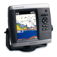
GPSMAP 400 Series; GPSMAP 500 Series
Table of Contents
Garmin RINO 520 - Hiking GPS Receiver Quick Reference Manual (2 pages)
2-Way Radio and GPS
Brand: Garmin
|
Category: Two-Way Radio
|
Size: 0 MB