Raymarine C-Series Operating Manual
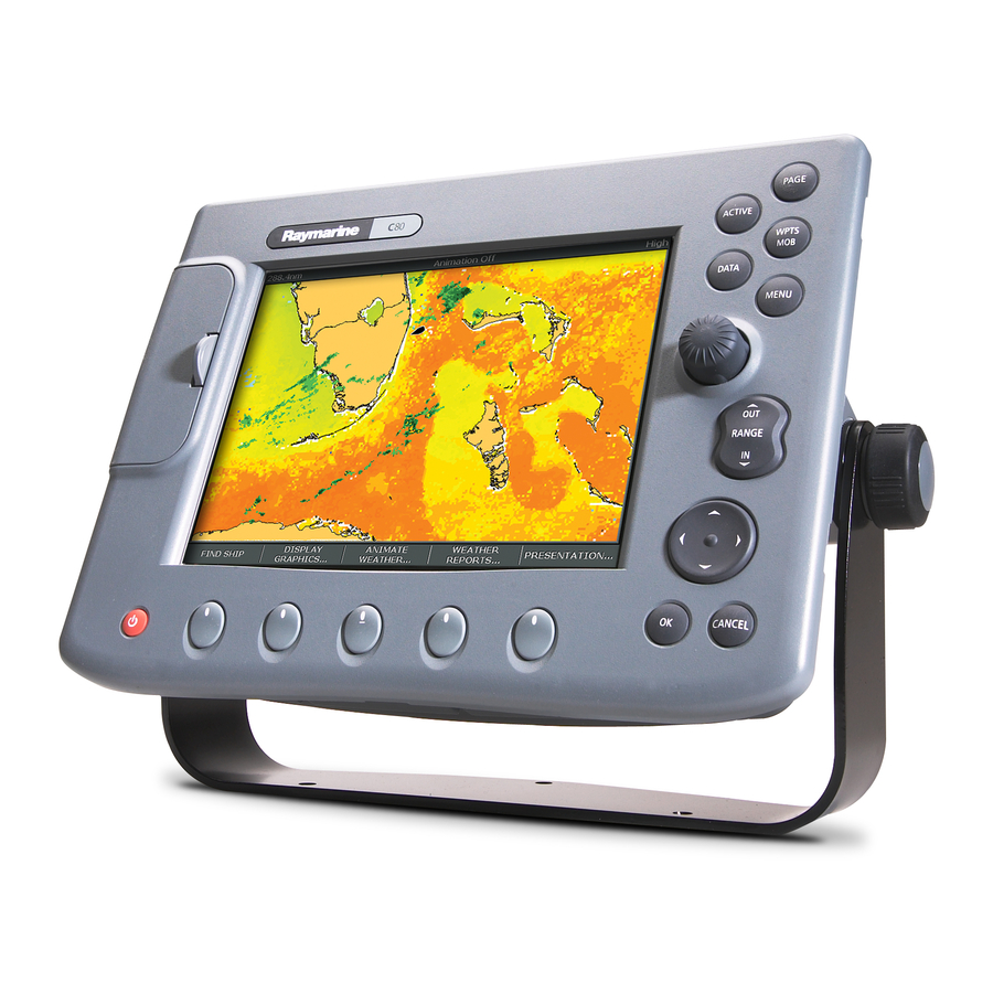
C series display
Hide thumbs
Also See for C-Series:
- Reference manual (244 pages) ,
- Installation manual (64 pages) ,
- Operating manual (20 pages)
Advertisement
Advertisement
Table of Contents

Related Manuals for Raymarine C-Series


Summary of Contents for Raymarine C-Series
-
Page 2: General Operation
General Operation The control panel Card No. 1 DATA ACTIVE PAGE Press to access When multiple windows are open: Press to scroll through available pages. ruler, chart vectors, - Press to select required window. Press and hold to select different page archive &... -
Page 3: Soft Keys
General Operation Using the controls Card No. 2 How do the controls work? Buttons Example: PAGE This example shows Access system functions or change what you see on-screen. ACTIVE the series of button Within the text of this document they are written in bold capitals WPTS/ and soft key presses e.g. -
Page 4: More Information
General Operation Setting up the display Card No. 3 How do I select how the applications are displayed? The applications are shown using a combination of page sets, pages and windows. There are five page sets each containing five pages with a combination of windows and applications in each. These sets can be edited to define the combination that suits your particular needs. -
Page 5: Using Compactflash Cards
Card No. 4 CAUTION CompactFlash Card In order to protect your C-Series Display and CompactFlash cards from irreparable damage, please adhere to the following: Fit the card the correct way around. DO NOT force. Ensure card door is firmly closed at all times. - Page 6 What can I see? FIND GOTO ROUTES TRACKS PRESENTATION SHIP CURSOR Understanding the chart Card No. 5 What can I use the chart for? Find where you are. Record where you have been. Interpret your surroundings. Measure the distance between two points. Place waypoints at specific locations.
-
Page 9: Basic Navigation
Basic Navigation WAYPOINT AT WAYPOINT AT WAYPOINT AT GO TO WAYPOINT REVIEW AND EDIT CURSOR VESSEL LAT/LON OPTIONS WAYPOINTS Working with Waypoints Card No. 8 What is a waypoint? A waypoint is a position marked on a chart, radar or fishfinder screen to indicate a site (for fishing, diving etc), or as a position to go to. - Page 11 What is around me? TARGET ENHANCE VRM/EBL GAIN PRESENTATION TRACKING ECHOES... Understanding the radar Card No. 10 What does the radar show me?..Range ring spacing Orientation Motion mode Data bar Icon confirming Range Head-Up Relative Motion Rings ½nm radar connection Range ring...
- Page 13 What is around me? MONITOR MARPA & AIS ACQUIRE TARGET MARPA LIST AIS LIST IN ZONES OPTIONS Using MARPA..Card No. 12 What is MARPA? Mini Automatic Radar Plotting Aid (MARPA) functions are used for target tracking and risk analysis. MARPA improves your standards of collision avoidance by obtaining detailed information for up to 10 targets, and provides continuous and rapid situation evaluation.
-
Page 14: Ais Target Symbols
What is around me? TARGET ENHANCE VRM/EBL GAIN PRESENTATION TRACKING ECHOES Using AIS Card No. 13 AIS target symbols What is AIS? AIS uses digital radio signals to broadcast ‘realtime’ Sleeping target information between vessels and shore based stations via dedicated VHF frequencies. This Target not activated, dangerous or information is used to identify and track vessels in lost. - Page 15 Where am I? Monitoring a course..Card No. 14 How do I monitor my course?..Your course is shown on the chart application whilst motion mode is active. Using COG and heading vectors (Press DATA - CHART VECTORS - COG/HDG VECTORS). Use the Course Deviation Indicator (CDI).
- Page 17 What's under the boat? TRANSDUCER ZOOM BOTTOM LOCK A - SCOPE PRESENTATION SETTINGS Using the fishfinder..Card No. 16 How do I change the range or shift the image? Your system automatically adjusts the display depth range, selecting the shallowest depth that keeps the bottom on the lower half of the window.
- Page 18 Monitoring data and engines Navtex Card No. 17 How do I monitor data? NAVIGATION WAYPOINT ROUTE FISHING SAILING The data application enables you to view numeric data generated by the system or by instruments available on NMEA 0183, SeaTalk, Seatalk , NMEA 2000 and SeaTalk .
- Page 19 Raymarine Ltd Raymarine Inc. Document No 86090_4. Quay Point 21, Manchester Street, Northarbour Road, Merrimack, Portsmouth, Hampshire NH 03054-4801 England PO6 3TD +44 (0)23 9269 3611 1-800-539-5539 www.raymarine.com www.raymarine.com D6826_4...
Need help?
Do you have a question about the C-Series and is the answer not in the manual?
Questions and answers