
Related Manuals for Lowrance 9 HDI


Summarization of Contents
Preface
Disclaimer
Legal statement regarding product use, liability, and warranty.
Trademarks
Lists registered trademarks of Navico Holding AS and related entities.
About the Manual
Navico Product References
Lists Navico products covered by this manual.
Copyright
States copyright ownership of the manual content.
Warranty Information
Informs about the warranty card and where to find queries.
Compliance Statements
Lists product compliance with directives and standards.
About This Manual
Describes the manual's scope, supported models, and potential differences.
Introduction
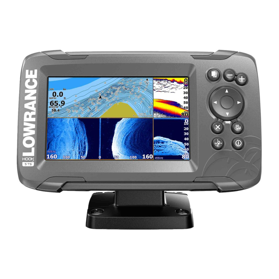
Front Controls Overview
Details the function of each physical button on the unit.
Micro SD Card Slot
Describes the location of the card reader on the unit.
The Home Page
Explains how to access and navigate the main menu screen.
Application Pages Explained
Describes how applications are presented on panels and accessed from the Home page.
Custom Pages Management
Explains creation, modification, and deletion of custom pages.
Multiple Panel Custom Pages
Details how to arrange up to 4 panels on a custom page and adjust panel sizes.
Basic Operation
System Controls Dialog
Provides quick access to basic system settings via the Power key.
Activating Functions
Explains how to select icons to toggle functions on or off.
Turning the System On and Off
Describes how to power the unit on and off using the Power key.
Standby Mode Functionality
Explains the power-saving Standby mode and its effect on the unit.
Display Illumination and Night Mode
Details how to adjust screen brightness and use Night mode.
Stopping Sonar Functionality
Explains how to stop sonar pinging without powering off the unit.
Using Menus and Dialogs
Guides on navigating menus, dialog boxes, and using scroll bars.
Cursor Usage on Panels
How to activate, move, and use the cursor for marking positions.
Creating a Man Overboard Waypoint
Describes how to save a MOB waypoint in emergency situations using zoom keys.
MOB Waypoint Options
Options available when a MOB waypoint is activated, like move, edit, delete, goto.
Screen Capture Functionality
Instructions on taking and viewing screen captures.
Customizing Your System
Customizing Home Page Wallpaper
Explains how to change the Home page background image.
Data Overlay Configuration
Describes how to display data information as an overlay on a page.
Turning Data Overlay On and Off
How to toggle data overlay on/off via the System Controls dialog.
Editing Overlay Data
Options for adding, deleting, or changing data overlays on a panel.
Adding New Custom Pages
Step-by-step guide to create new custom pages with multiple panels.
Editing or Deleting Custom Pages
How to modify or remove existing custom pages from the Home page.
Adjusting Split on Multiple Panel Pages
Instructions on resizing panel layouts within a multiple panel page.
Charts
The Chart Panel Explained
Identifies key elements and symbols displayed on the chart panel.
Selecting Chart Type
How to choose different chart types in the settings dialog.
Vessel Symbol Interpretation
Explains the meaning of the vessel symbol and its appearance with/without GPS.
Chart Scale Adjustment
How to zoom in and out on the chart using Zoom keys.
Panning the Chart Display
How to move the chart display using the Arrow keys.
Waypoints, Routes, and Trails on Charts
How to position and manage waypoints, routes, and trails on the chart.
Navigating with Charts
Using the chart page for navigation to a cursor, waypoint, or route.
Displaying Information About Chart Items
How to view basic information for chart items, waypoints, trails, or routes.
Finding Objects on Chart Panels
Using the find menu option to search for chart items.
Chart Overlay Functionality
How to display StructureMap information as an overlay on the chart panel.
Vessel Positioning and Chart Orientation
Options for chart orientation: North up and Course up.
C-MAP Specific Chart Options
Chart Detail Levels
Options for chart detail levels: Full, Medium, Low.
Depth Palette Control
Controls the depth palette used on the map.
Depth Filter Settings
Filters out depth values shallower than a selected limit.
Safety Depth Configuration
How C-MAP charts use shades of blue for depth and set a safety depth limit.
Chart Categories Management
Turning on/off categories and sub-categories for chart information.
Navionics Charts and Options
Navionics Charts Requirements
Requirements for using Navionics features and activation.
Community Edits Feature
Toggles user-added or uploaded edits on the chart layer.
SonarChart Live Functionality
Real-time feature creating depth contours from live sonar soundings.
SonarChart Live Transparency
Adjusts the opaqueness of the SonarChart Live overlay.
SonarChart Live Minimum Depth
Adjusts what SonarChart Live renders as safety depth.
Navionics Dynamic Tide Icons
Displays tides/currents with gauges and arrows instead of diamond icons.
Current Speed and Tide Height Symbols
Explains icons for current speed, direction, and tide rising/falling.
Easy View Feature
Magnifying feature to increase chart item and text size.
Navionics SonarChart
Displays a bathymetry map with high-resolution contour detail.
Fishing Range Highlight
Selects a depth range to highlight with a different color for fishing.
Shallow Water Highlight
Highlights areas of shallow water up to a selected depth.
Presentation Type Options
Provides marine charting information using different symbols, colors, and wording.
Navionics Safety Depth
How Navionics charts use shades of blue for depth and safety depth limits.
Navionics Chart Details
Provides different levels of geographical layer information.
Chart Settings
Range Rings Configuration
Presents distance from vessel to other objects using range rings.
Grid Lines Display
Turns on/off viewing of longitude and latitude grid lines.
Waypoint, Route, Trail Display
Turns on/off displaying these items on panels.
Course Extension Line
Turns on/off displaying the Course Over Ground (COG) extension line.
Extension Line Length Setting
Specifies the length of the course extension line.
SonarChart Live Tide Correction
Adjusts depth values using tide station information for SonarChart Live.
GPS Plotter
GPS Plotter Page Overview
Displays vessel position, plans routes, and places waypoints.
Vessel Symbol on GPS Plotter
Indicates vessel position with a symbol, showing a question mark if GPS is unavailable.
GPS Plotter Page Scale
Explains how zoom and range rings are displayed on the GPS plotter.
Panning the GPS Plotter Image
How to move the GPS plotter image using Arrow keys.
GPS View Options
Options for GPS overlay and image orientation.
Positioning the Vessel on the GPS Page
How to set GPS image orientation: North up or Course up.
Waypoints, Routes, and Trails on GPS
How to position and manage waypoints, routes, and trails on the GPS plotter.
Navigating with GPS Plotter
Using the GPS plotter page for navigation to a cursor, waypoint, or route.
Waypoints, Routes, and Trails
Waypoints, Routes, and Trails Dialogs
Provides access to advanced edit functions and settings for waypoints, routes, and trails.
Waypoints Explained
Defines a waypoint as a user-generated mark with an exact position.
Saving Waypoints
How to save a new waypoint using the Cursor/Waypoint key.
Moving a Waypoint
Steps to reposition an existing waypoint on the panel.
Editing a Waypoint
How to edit all information about a waypoint via the Edit Waypoint dialog.
Deleting a Waypoint
How to remove waypoints from the Edit Waypoint dialog or menu.
Routes Explained
Defines a route as a series of routepoints for navigation.
Creating a New Route
Step-by-step guide to create a new route by placing routepoints.
Editing a Route from the Panel
How to edit a route by selecting it and accessing the Edit Route dialog.
Deleting a Route
How to remove a route from the panel or menu.
Creating Routes Using Existing Waypoints
How to create a new route by combining existing waypoints.
Converting Trails to Routes
How to convert a recorded trail into a route.
The Edit Route Dialog
Options for adding/removing routepoints and changing route properties.
Trails Explained
Graphical presentation of vessel path, used to retrace travel.
Creating New Trails
How to start a new trail from the Trails dialog.
Trails Settings Configuration
Options for positioning trail points based on time, distance, or course changes.
Navigating
Navigate to Cursor Position
How to start navigation to a cursor's position on any panel.
Navigate to a Waypoint
How to start navigation towards a specific waypoint.
Navigate a Route
How to start navigation along a predefined route.
Sonar
The Sonar Image Explained
Provides a view of the water and bottom, detecting fish and structure.
Zooming the Sonar Image
How to magnify the sonar image using Zoom keys and zoom bars.
Viewing Sonar History
How to pan the sonar image to view historical data.
Customizing Image Settings
How to switch between Auto, Custom, or Ice Fishing modes for image tuning.
Custom and Ice Fishing Mode Options
Access to controls for manually tuning the sonar in specific modes.
Sonar Range Setting
Setting that determines the visible water depth on the screen.
Sonar Frequency Options
Available sonar frequencies depend on the connected transducer model.
Sensitivity Adjustment
Adjusts detail on screen; Auto Sensitivity is preferred for most conditions.
Adjusting Sensitivity Manually
Steps to manually adjust sensitivity settings when not in Auto mode.
Advanced Sonar Options
Settings for ping speed, scroll speed, noise rejection, surface clarity, colorline.
More Sonar Options
Options for split screen, zoom, and bottom lock.
Flasher Mode
Shows a flasher-style sonar view and a normal sonar view.
Amplitude Scope Display
Displays real-time echoes indicating strength by width and color intensity.
Sonar Palettes Selection
Select display palettes optimized for various fishing conditions.
Fish ID Feature
Options for how echoes appear, including fish identification and beeps.
Overlay Downscan Functionality
How to overlay DownScan images on the regular Sonar image.
Measuring Distance on Sonar Image
How to measure the distance between two points on the sonar image.
Start Recording Sonar Log Data
How to record sonar log data internally or to a memory card.
Filename and File Format
Specify name and select file format for sonar data recordings.
Create StructureMap from Log
Option to convert .sl2 logs to StructureMap format.
Stop Recording Sonar Log Data
How to stop recording all sonar log data.
Viewing Recorded Sounder Data
How to review recorded sounder data from sonar logs.
Sonar Settings Menu
Accesses settings for logging sonar, viewing logs, depth offset, and water temperature.
Depth Offset Adjustment
Adjusts depth readings to account for transducer position relative to the boat's lowest point.
Water Temperature Calibration
Adjusts water temperature readings from the sonar transducer.
StructureScan
The StructureScan Image Explained
Provides high-resolution, picture-like images of the seabed using high frequencies.
Zooming the StructureScan Image
How to magnify the StructureScan image using Zoom keys.
Cursor Usage on StructureScan Panel
How to position and use the cursor on the StructureScan image.
Viewing StructureScan History
How to pan the StructureScan image to view historical data.
Recording StructureScan Data
How to record StructureScan data and save it internally or to a memory card.
Setting Up StructureScan Image
How to customize StructureScan image settings via Auto or Custom modes.
Custom StructureScan Options
Details on customizing StructureScan range, contrast, and frequencies.
Advanced StructureScan Settings
Settings for surface clarity and restoring default modes.
More StructureScan Options
Options for flipping image, range lines, palettes, view, and measuring distance.
DownScan
The DownScan Image Explained
Provides detailed images of structure and fish directly below the boat.
Zooming the DownScan Image
How to magnify the DownScan image using Zoom keys.
Cursor Usage on DownScan Panel
How to position and use the cursor on the DownScan image.
GoTo Cursor on DownScan
Navigates to a selected position on the DownScan image using the menu.
Viewing DownScan History
How to pan the DownScan image to view historical data.
Customizing DownScan Image Settings
How to switch between Auto, Custom modes for sonar image tuning.
Custom Mode Options for DownScan
Options for Range, Frequency, Restore mode default, and Contrast in Custom mode.
Advanced DownScan Options
Settings for surface clarity, range lines, palettes, and measuring distance.
StructureMap
StructureMap Image Overlay
Overlays SideScan images from StructureScan source onto the map for underwater visualization.
Activating Structure Overlay
Steps to enable Structure overlay from the chart menu and select source.
StructureMap Tips and Best Practices
Advice on obtaining better StructureMap images, e.g., avoiding driving over structures.
Recording StructureScan Data
How to record StructureScan data from a chart panel or StructureScan panel.
Converting StructureScan Data to StructureMap Format
How to convert .sl2 logs to .smf format for StructureMap.
Using StructureMap with Mapping Cards
How to use StructureMap with cartography and compatible charting cards.
StructureMap Options Configuration
Adjusts StructureMap settings like transparency, palette, contrast, water column, and clear history.
Alarms
Alarm System Overview
Continuously checks for dangerous situations and system faults, displaying alarm messages.
Types of Alarm Messages
Classifies alarm messages by color (Red, Orange, Yellow, Blue, Green) and importance.
Alarm Messages Display
How alarm messages are displayed with title and details.
Acknowledging Alarm Messages
Options like Close or Disable to manage acknowledged alarms.
Alarms Dialog and Siren Configuration
Enables the alarm siren from the Alarms dialog and configures alarm settings.
Tools
Settings Access
Provides access to application and system settings.
System Settings Configuration
Settings for language, text size, key beeps, time, datum, coordinate system, etc.
Key Beeps Volume
Controls the loudness of beep sounds when a key is pressed.
Time and Date Settings
Controls local time zone offset and time/date format.
Datum Configuration
Settings for chart datum, matching paper charts or unit's WGS84 format.
Coordinate System Format
Controls the format for latitude and longitude coordinates.
Magnetic Variation Adjustment
Adjusts magnetic variation for accurate bearing readings.
Satellites Status
Displays status of active satellites.
Restore Defaults Function
Restores settings to original factory defaults, warns about data deletion.
Advanced System Settings
Panel for advanced settings affecting user interface and feature display.
About the Unit
Displays copyright, software version, and technical information.
Navigation Settings Access
Options and dialogs for navigation settings like arrival radius, XTE limit, Trails, Logging Type.
Chart Settings Access
Options and dialogs for chart settings and display common to all chart panels.
Sonar Settings Access
Options and dialogs for sonar settings.
Alarms Settings Access
Options to enable siren, set alarms, and view alarm history.
Units of Measure Setup
Setup of units of measure for various data types.
Simulator Control
Controls manual simulation of unit functions.
Waypoints, Routes, and Trails Management
Lists waypoints, routes, and trails with details for editing or deletion.
Information Access (Sun, Moon, Tides, Trip)
Access to Sun/moon, Tides, and Trip information.
Storage and File Management
Access to the file management system.
Viewing Files
Select a file in the Files panel and view it in the Details dialog.
Copying Files to a Card
Copy screen captures and logs to a card, export system settings.
Maintenance
Preventive Maintenance Guidelines
Limited maintenance required; recommends using a protective sun cover.
Cleaning the Display Unit
Instructions for cleaning the screen and housing using recommended materials.
Checking Connectors
Visual inspection of connectors to ensure proper seating and alignment.
Service Assistant Functionality
Creates a report of unit information for technical support inquiries.
Software Upgrades Procedure
Information on downloading and updating the unit's software from the website.
Update Software Steps
Step-by-step instructions for downloading and installing software updates.
Backing Up System Data
Recommends copying waypoints, routes, trails, and settings files for backup.
Export File Formats
Details various formats for exporting waypoints, routes, and trails.
Export All Waypoints, Routes and Trails
Option to backup all Waypoints, Routes, and Trails on the system.
Export Region Selection
Selects an area to export data from, defining a boundary box.
Purging Waypoints, Routes and Trails
Removes deleted waypoints/routes/trails to improve system performance.
Importing Backed Up Files
Steps to import backed-up files from a memory card into the unit.
Simulator
Simulator Functionality
Allows viewing unit operation without external connections.
Demo Mode
Unit automatically runs through features for retail/showroom demonstrations.
Simulator Source Files
Select sonar data files for the simulator, import external files.
Advanced Simulator Settings
Manually control simulator settings like GPS source, speed, course, and route.
GPS Source Selection
Selects where the GPS data is generated from for the simulator.
Speed, Course, and Route Settings
Manually enter values for speed, course, and route in simulated modes.
Set Start Position in Simulator
Moves the vessel to the current cursor position in simulated course mode.
Need help?
Do you have a question about the 9 HDI and is the answer not in the manual?
Questions and answers