
Related Manuals for Lowrance 5 TS


Summarization of Contents
Preface
Disclaimer
Information regarding product improvements, owner responsibilities, and liability.
Product and Manual Information
About This Manual
Explains the manual's scope and how screenshots may vary by model.
Manual and Software Versions
Software Version
Explains how to find and update the unit's software version.
Introduction
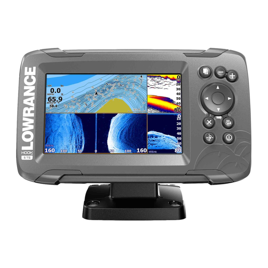
Front Controls
Describes the function of each button on the unit's front panel.
The Home Page
Micro SD Card
Details the location of the card reader and its function.
Application Pages
Custom Pages
Introduces the concept and modification of custom pages.
Basic Operation
System Controls Dialog
Provides quick access to basic system settings and functions.
Customizing Your System
Customizing the Home Page Wallpaper
How to change the background image of the Home page.
Charts
The Chart Panel
Overview of the chart display elements and their functions.
Selecting Chart Type
How to choose different chart display types.
Chart Scale
How to zoom in and out on the chart display.
Waypoints, Routes, and Trails
Waypoints, Routes, and Trails
Managing navigation data like waypoints, routes, and trails.
Chart Overlay
How to overlay StructureScan information onto the chart.
GPS Plotter
GPS Plotter Page
Overview of the GPS plotter display, showing vessel position and trails.
Navigating
Using the system for navigation to cursor, waypoint, or route.
Waypoints, Routes, and Trails
Waypoints, Routes, and Trails Dialogs
Accessing advanced edit functions and settings for navigation data.
Saving Waypoints
How to save a new waypoint using the cursor position.
Creating a New Route on the Page
Step-by-step guide to creating a new route with routepoints.
Trails
The Edit Route Dialog
Adding/removing routepoints and changing route properties.
Navigating
Navigate to Cursor Position
How to start navigation to a selected cursor location.
Sonar
The Sonar Image
Explains the sonar display, showing fish arches, depth, and bottom structure.
Zooming the Image
How to zoom in on the sonar image for better detail.
Customize the Image Settings
Options for adjusting sonar image settings like sensitivity.
Sonar Settings
View Sonar Log
How to review previously recorded sonar data.
Depth Offset
Adjusting depth readings to account for transducer position.
StructureScan
The StructureScan Image
Overview of the StructureScan display, showing seabed detail.
Viewing StructureScan History
How to pan the StructureScan image to view historical data.
Setting Up the StructureScan Image
Options for customizing StructureScan image settings.
DownScan
The DownScan Image
Overview of the DownScan display, showing detailed structure below the boat.
Viewing DownScan History
How to pan the DownScan image to view historical data.
Custom Mode Options
Range, frequency, restore default, and contrast settings for DownScan.
StructureMap
StructureMap
Overlays SideScan images from StructureScan source onto the map.
Recording StructureScan Data
How to record StructureScan data for StructureMap conversion.
Alarms
Alarm System
How the system checks for dangerous situations and displays alarm messages.
Alarms Dialog
How to enable the alarm siren and configure alarm settings.
Tools
Settings
Provides access to application and system settings.
System Settings
Configuration options for language, text size, time, datum, etc.
Navigation Settings
Options for navigation parameters like arrival radius and XTE.
Chart Settings
Options for chart display and data.
Sonar Settings
Options for sonar display and recording.
Maintenance
Preventive Maintenance
Limited maintenance recommendations for the unit.
Cleaning the Display Unit
How to clean the screen and housing of the unit.
Software Upgrades
How to download and update the unit's software.
Simulator
Demo Mode
Automatic demonstration of the unit's features for retail display.
Advanced Simulator Settings
Manually controlling simulator parameters like GPS source and speed.
Need help?
Do you have a question about the 5 TS and is the answer not in the manual?
Questions and answers