Table of Contents
Advertisement
Quick Links
Download this manual
See also:
User Manual
Advertisement
Table of Contents

Related Manuals for Nextar S3


Summary of Contents for Nextar S3
-
Page 2: Table Of Contents
Map Selection ... 21 4 – Configurations Settings Menus ... 22 Prompts... 22 Language Settings... 23 Look & Feel Settings... 23 GPS Settings ... 23 Units of Measure... 25 Time Settings... 25 Map Settings... 25 About... 26 Help... 26 Index... -
Page 3: Getting Started
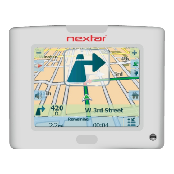
Welcome to the world of mobile navigation! Simple operation, clear maps in 2D or 3D mode as well as numerous innovative features and functions have made the GPS the essential guide for every traveler – whether in the car, on foot or by bike. -
Page 4: Main Map
The red GPS receiver means that a reliable GPS signal is not yet located. The green GPS receiver means that a reliable GPS signal is located and that you are ready to navigate. -
Page 5: Location Point On Main Map
Location Icons Current location in Vehicle Mode or Walking Mode. Last known location when GPS signal is unreliable. Generated route Location Point on Main Map You can drag the map to a specific point and tap the desired location directly on the Main Map screen in both 2D and 3D map view. -
Page 6: Cancel Route
Cancel Route • From the Manage Route menu, tap the Cancel Route button. The current navigation stops and it clears the route. You can only cancel a route after a destination has been set. -
Page 7: Select Location And Generate Route Go To An Address
2 – Select Location and Generate Route Go to an Address From the Navigation menu, tap the New Address button. The Address Search Mode screen appears, allowing you to choose how you want to enter address information. For example, if you select City first, the first address screen is lets you select from a list of cities, the second screen a list of streets, and the third screen lets you enter an address number. -
Page 8: Keyboard Command Keys
The operating system installed on the device must be able to support these characters. Note: The GPS lets you search for city and street names without having special characters, such as umlauts or accent marks, which are used in many European languages. For example, you can enter Munchen for München... -
Page 9: Navigate To An Address
Navigate to an Address Figure 6 – Show on Map Actions Tap the Actions button to: • Set an Address as the point of origin – Tap the As Starting Point button to designate the selected address as the route origin. •... -
Page 10: Search For A Location Near You
Point of Interest (POI) The Point of Interest (POI) list is a collection of hundreds of interesting or useful places organized by easy-to-find categories. For example, you can use the GPS to guide you to a shopping center, hotel, restaurant, or gas station. -
Page 11: Show Or Hide Symbol On Map
Search for a POI Category Tap this button to display the most common POI categories. Figure 8 – Most Common POI Categories Tap More to display the Point of Interest screen, where you can search through the entire list of POI categories. Show or Hide Symbol on Map You can select or clear the checkmarks next to a POI entry to show or hide the POI symbol on the Main Map screen. -
Page 12: Quicknav
Actions Tap the Actions button to: • Set an Address as the point of origin – Tap As Starting Point button to designate the selected address as the route origin. • Show on map – Tap to see the selected address on the map. •... -
Page 13: Recent Place
Recent Place From the Navigation menu, tap this button to select an existing destination from a list of destinations that you have previously traveled to. Figure 11 – Traveling to a Recent Location It automatically stores the last 64 destinations in memory. After 64 destinations have been saved, the older destination entries are erased. -
Page 14: Save A Favorite Location
Address Book A Favorite is a destination that you have stored for easy retrieval. Save favorite destinations to your favorites groups and later you can easily travel to these destinations. Note: You can also add a favorite destination from the Address, POI, and Recent Place screens. Save a Favorite Location From the Actions screen , tap this button. - Page 15 You can check or clear the checkmarks next to a favorite entry to show or hide the Favorites symbol on the Main Map screen. Creating a Favorite Group From the Favorites screen, tap this button to add, edit, or delete groups. Enter a group name and select a group icon.
- Page 16 Actions Tap the Actions button to: • Set an address as the point of origin – Tap the As Starting Point button to designate the selected address as the route origin. • Show on map – Tap to see the selected address on the map. •...
-
Page 17: Additional Features Driving Directions
3 – Additional Features Driving Directions From the Manage Route menu, tap this button to display a complete turn-by-turn list of directions from your current location to the selected destination. It continuously updates the Turn-by-Turn screen to display the most current instructions as you navigate the route. Figure 16 –... -
Page 18: Avoid Roads
From the Manage Route menu, tap the Avoid Roads button. The Avoid Roads screen appears, displaying predefined road groups. Figure 17 – Predefined Road Groups The GPS provides the following predefined road groups: • Ferries – The default value is to avoid •... -
Page 19: Adding A Road To Avoid
Adding a Road to Avoid When you tap My Roads to Avoid or a road group, the GPS displays the group screen, which lets you designate roads to avoid. From this screen, you can use the Allow or Avoid buttons to include or exclude individual roads when calculating a route. -
Page 20: Detour
From the Manage Route menu, tap the Detour button. The Detour screen lets you instruct the GPS to create a detour to avoid a road event, such as an accident. Figure 21 – Avoiding a Road Event by Performing a Detour Select the Detour option that you want to generate a detour for the distance specified. -
Page 21: Map Browsing
A popup menu appears. Tap Go There to navigate to the selected point. You can reconnect to GPS, by going to the Options&Settings menu and tapping the GPS Navigation button. -
Page 22: Map Selection
Figure 23 – Select a Map The GPS immediately implements the selected map for all navigation features. If it is the first time that you are using a map, an End-User Agreement License (EULA) screen appears. Read it and then select the I Agree checkbox to continue working. -
Page 23: Configurations Settings Menus
Notifies you when it recalculates your route. For example, when you miss a turn. Unreliable GPS Signal Warns that the GPS signal is too low and unreliable for navigation. Alerts you if the GPS signal is lost, or if the power source has been removed from GPS Not Found the GPS receiver. -
Page 24: Language Settings
Your vehicle's location and position are constantly updated unless you are working in the Browsing Map mode or you tap the GPS Off button. The GPS receiver may take a few minutes to find its initial location. For best results, ensure that the GPS receiver has a clear view of the sky. -
Page 25: Gps Troubleshooting
When you first start, you may hear the “Signal too low” message. This message means that your navigation device hasn’t yet located a reliable GPS signal. Check that your device is connected to a power source, such as the cigarette lighter, and has a clear view of the sky. -
Page 26: Units Of Measure
Units of Measure From the Setup 1 menu, tap this button to specify the measurement system you would like to use. You can select: • Miles, Yards • Miles, 10th of a Mile • Kilometers, Meters Time Settings From the Setup 1 menu, tap this button to display time settings. Figure 26 –... -
Page 27: About
Volume Control Displays the Volume Control bar. GPS Indicator Displays whether a reliable GPS signal has been located. Power Indicator Displays if your device is plugged in or running on battery power. Information Bar Displays estimated time of arrival. -
Page 28: Index
Favorite Locations • 12 Go to an Address • 5 Go to Another Country • 6 Going to a Favorite Destination • 12 GPS Settings • 22, 23 GPS Troubleshooting • 23 Groups • 13 Help • 26 Keyboard Command Keys • 6 Language Settings •... - Page 29 La Verne, CA 91750 Copyright © 2008 Nextar Inc. All Rights Reserved © 2008 Nextar (Hong Kong) Limited. Nextar is a trademark and service mark of Nextar (Hong Kong) Limited. All other brand names, trademarks and service marks are property of their owners.
Need help?
Do you have a question about the S3 and is the answer not in the manual?
Questions and answers