Advertisement
Guidelines for Using a GPS on MLN Surveys
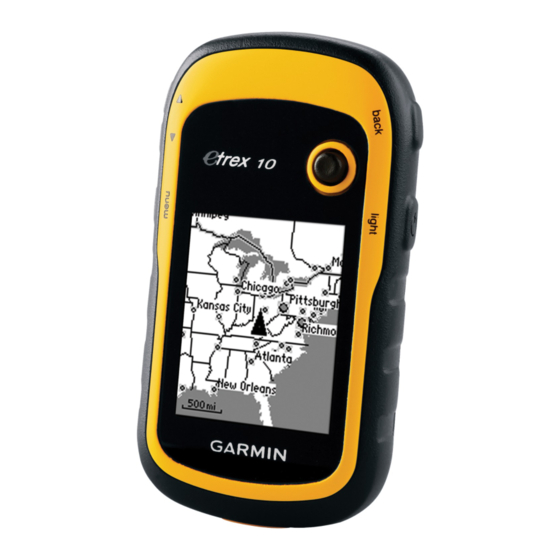
1. Garmin Etrex 10 GPS Unit- Overview
The Garmin Etrex 10 unit is commonly used. Other handheld GPS units have near identical
functionality, although screen layouts and key buttons differ between units.
[NOTE: If no GPS unit is available an alternative is to use a smartphone. The free apps –
GPS Status & Toolbar
Images from Garmin
MLN Survey Protocol
or
GPS Essentials
are recommended].
Advertisement
Table of Contents

Related Manuals for Garmin Etrex 10


Summary of Contents for Garmin Etrex 10
- Page 1 Guidelines for Using a GPS on MLN Surveys 1. Garmin Etrex 10 GPS Unit- Overview The Garmin Etrex 10 unit is commonly used. Other handheld GPS units have near identical functionality, although screen layouts and key buttons differ between units.
- Page 2 Always use a GPS to record location data! Is there anything else I should remember? • Do not block the antenna (located just above the word “Etrex” on the front of Garmin GPS) with your fingers or head • Always carry an extra set of two AA Alkaline batteries...
- Page 3 3. Setting up your GPS for use (first use only) Settings - This only needs to be done ONCE – upon receipt of GPS units, prior to use in field survey. After settings are complete, NO further changes should be made. Properly setting up your GPS helps to ensure that standard GPS settings are used in every country.
- Page 4 Using a GPS for field survey 1. Turning on the GPS and getting a satellite signal 1. At the field location. Switch on GPS unit by pressing the Power button 2. Press the Back button until the Satellite page is visible 3.
- Page 5 2. Recording and storing a location – “Marking a Waypoint” There are two ways to do this: Option A: Via the Enter Key 1. Press and hold the Thumbstick. This will make the Waypoint page appear – showing a 3 digit waypoint number, latitude, longitude, elevation 2.
Need help?
Do you have a question about the Etrex 10 and is the answer not in the manual?
Questions and answers