
Related Manuals for Garmin eTrex High Sensitivity


Summarization of Contents
Garmin eTrex Models Overview
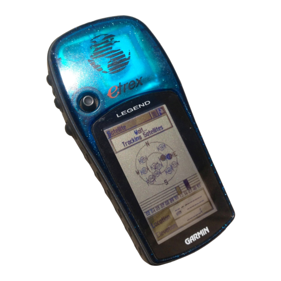
eTrex Legend
Lists the Garmin eTrex Legend model covered in the tutorial.
eTrex Venture HC
Lists the Garmin eTrex Venture HC model covered in the tutorial.
eTrex High Sensitivity
Lists the Garmin eTrex High Sensitivity model covered in the tutorial.
Understanding GPS Coordinate Systems
Coordinate System Definition
Defines a coordinate system as a reference for locations on Earth, providing a communication basis.
Geographic vs. Projected Coordinate Systems
Explains Geographic (spherical, Lat/Long) and Projected (flat, UTM) coordinate systems.
Coordinate System Formats and Examples
Decimal Degrees vs. UTM Formats
Compares Decimal Degrees (Lat/Long) and UTM formats with example point locations.
Wyoming UTM Zones Illustration
Shows a map illustrating the UTM zones applicable to Wyoming.
Garmin eTrex Legend: Core Operations
eTrex Legend Main Screens and Navigation
Details the main screens and how to navigate through them using the page key.
Setting Coordinate System on eTrex Legend
Step-by-step guide to configure Position Format and Map Datum on the Legend.
Managing Waypoints on eTrex Legend
Instructions for adding waypoints by coordinates and current location.
Navigating to Waypoints on eTrex Legend
Guides on finding and following a previously saved waypoint using the Legend.
eTrex Legend Button Functions
Explains the usage of key buttons like Thumb Stick, MENU/FIND, QUIT, and POWER.
Garmin eTrex Venture HC Usage
Venture HC Operational Similarities
Highlights that Venture HC operations and screens mirror the eTrex Legend model.
Garmin eTrex High Sensitivity: Operations
eTrex HS Button Layout and Controls
Details the unique buttons and controls specific to the eTrex High Sensitivity model.
Setting Coordinate System on eTrex HS
Guide to configuring coordinate systems (Position Format, Map Datum) for the eTrex HS.
Managing Waypoints on eTrex HS
Instructions for adding and saving waypoints on the eTrex High Sensitivity.
Navigating to Waypoints on eTrex HS
Explains how to find and navigate to saved waypoints using the HS model.
Advanced GPS Applications and Resources
Additional eTrex Tips and Manuals
Covers deleting waypoints, adjusting brightness, and links to detailed manuals.
Data Management with DNR GPS Software
Details uploading and downloading GPS points and tracks using DNR GPS software.
Smartphone GPS Applications for Field Work
Lists recommended GPS apps for Android and iPhone devices for field use.
Need help?
Do you have a question about the eTrex High Sensitivity and is the answer not in the manual?
Questions and answers