Table of Contents
Advertisement
Quick Links
Advertisement
Table of Contents

Related Manuals for Garmin GPSMAP 66s


Summary of Contents for Garmin GPSMAP 66s
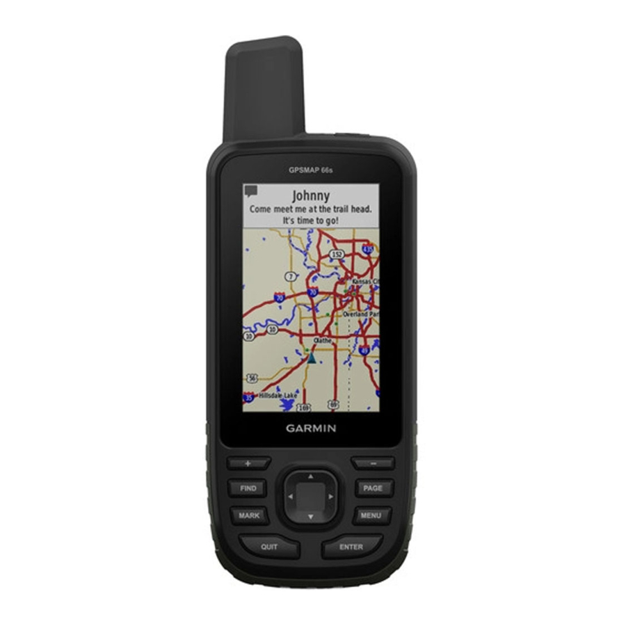
- Page 1 GPSMAP 66s Owner’s Manual...
- Page 2 All rights reserved. Under the copyright laws, this manual may not be copied, in whole or in part, without the written consent of Garmin. Garmin reserves the right to change or improve its products and to make changes in the content of this manual without obligation to notify any person or organization of such changes or improvements.
-
Page 3: Table Of Contents
Computer ............9 Navigating to a Waypoint ........6 Viewing Connect IQ Widgets ......9 Editing a Waypoint ..........6 Garmin Explore ............. 10 Deleting a Waypoint ........... 6 Joining a GroupTrack Session ......10 Waypoint Averaging ........... 6 Table of Contents... - Page 4 Downloading BirdsEye Imagery ....... 11 Geocaches ............11 Product Updates ..........18 Registering Your Device at Geocaching.com . 11 Setting Up Garmin Express ......18 Downloading Geocaches Using a Computer .. 11 Attaching the Carabiner Clip ....... 18 Searching for a Geocache ....... 11 Removing the Carabiner Clip ......
-
Page 5: Introduction
Introduction y Reduce the flashlight brightness or flash frequency (Using the Flashlight, page 13). y Use battery save mode (Turning On Battery Save WARNING Mode, page See the Important Safety and Product Information guide y Use expedition mode (Turning On Expedition Mode, in the product box for product warnings and other page important information. -
Page 6: Installing A Nimh Battery Pack
Garmin. Attempting to FIND Select to open the search menu. charge a battery that was not provided by Garmin can Select to save your current location as a damage the device and void the warranty. -
Page 7: Acquiring Satellite Signals
Acquiring Satellite Signals Map Setup: Enables you to open additional map settings (Map Settings, page It may take 30 to 60 seconds to acquire satellite Measure Distance: Allows you to measure the distance signals. between multiple locations (Measuring Distance on 1 Go outdoors to an open area. -
Page 8: Course Pointer
1 Select PAGE. fields. 2 Hold the device level. Restore Defaults: Restores the compass to factory default settings. 3 Follow to your destination. Calibrating the Compass Course Pointer Before you can calibrate the electronic compass, you The course pointer is most useful when you are must be outdoors, away from objects that influence navigating on water or where there are no major magnetic fields, such as cars, buildings, or overhead... -
Page 9: Altimeter
you change profiles (Profiles, page 17). Calibrating the Barometric Altimeter Insert Page: Inserts an additional page of You can manually calibrate the barometric altimeter customizable data fields. if you know the correct elevation or the correct barometric pressure. TIP: You can use the arrow keys to scroll through the pages. -
Page 10: Creating A Waypoint
about the location, such as name, elevation, and depth. 6 Enter the distance, and select Done. You can add a .gpx file that contains waypoints by 7 Select Save. transferring the file to the GPX folder (Transferring Files Moving a Waypoint on the Map to Your Device, page 19). -
Page 11: Navigating A Saved Route
(File Types, page 18). • FIT records your activity with fitness information 2 Select a route. that is tailored for the Garmin Connect 3 Select View Map. application and can be used for navigation. Viewing the Elevation Plot of a Route •... -
Page 12: Navigating Using Tracback
• To view the current activity on the map, select Purchasing Additional Maps 1 Go to your device product page at Garmin.com.sg. • To view the elevation plot for the current activity, 2 Click the Maps tab. select 3 Follow the on-screen instructions. -
Page 13: Connected Feature Requirements
® Mobile app. You can customize your device with data directly, and through the Garmin Connect app on an Android™ phone. fields, widgets, and apps. Pairing a Smartphone with Your Device Data Fields: Allow you to download new data fields... -
Page 14: Garmin Explore
Garmin Explore social network updates, and more, based on your smartphone notification settings (Phone The Garmin Explore website and mobile app allow you Notifications, page to plan trips and use cloud storage for your waypoints, Weather: Displays the current temperature, routes, and tracks. -
Page 15: Birdseye Imagery
Remote: Allows you to send messages on wirelessly. your paired inReach device (Using the inReach y Connect to the Garmin Connect Mobile app. Remote, page 13). y Connect to a Wi-Fi network. Satellite: Displays your current GPS satellite... -
Page 16: Filtering The Geocache List
Filter. chirp 2 Select items to filter. A chirp is a small Garmin accessory that is 3 Select QUIT. programmed and left in a geocache. You can use By default, the new filter is saved automatically your device to find a chirp in a geocache. For more as Filter followed by a number. -
Page 17: Removing Your Device Registration From Geocaching.com
Remove Live Data. 2 Walk around the perimeter of the area you want to calculate. Live geocaching data is removed from the device and no longer appears in the geocache list. 3 Select Calculate when finished. Removing Your Device Registration From Using the VIRB Remote Geocaching�com Before you can use the VIRB remote function, you... -
Page 18: Satellite Page
Marine: Sets the appearance of marine data on the create routes or search for saved locations. (Marine Settings, page 16). AutoLocate Position: Calculates your GPS position using the Garmin AutoLocate feature. Menus: Allows you to customize the page sequence and main menu (Menu Settings, page 16). -
Page 19: Gps And Other Satellite Systems
Add Network: Allows you to scan for and connect to a Select Setup > System > Interface. wireless network. Garmin Spanner: Allows you to use the device USB Routing Settings port with most NMEA 0183-compliant mapping programs by creating a virtual serial port. -
Page 20: Setting The Device Tones
Setting the Device Tones activity to appear as the correct type when you You can customize tones for messages, keys, turn transfer it to Garmin Connect. warnings, and alarms. User: Sets your user profile information. The device 1 Select Setup > Tones > Tones > On. -
Page 21: Position Format Settings
1 From the main menu, select MENU > Change Item vertical speed. Order. 1 Select Setup > Units. 2 Select a menu item. 2 Select a measurement type. 3 Select an option: 3 Select a unit of measure. • Select Move to change the placement of the Time Settings item in the list. -
Page 22: Device Information
11). y JPEG photo files. 2 Slide the carabiner clip up until it locks in place. y GPI custom POI files from the Garmin POI Loader. Removing the Carabiner Clip Go to Garmin.com/products/poiloader. y FIT files for exporting to Garmin Connect. -
Page 23: Installing A Memory Card
3 Slide the card holder and lift up. 4 Place the memory card with the gold contacts 1 Open the Garmin drive or volume. facing down. 2 If necessary, open a folder or volume. 3 Select a file. -
Page 24: Viewing E-Label Regulatory And Compliance Information
Viewing E-label Regulatory and Compliance cadence accessory for this data to appear. Information Calories: The amount of total calories burned. Compass Heading: The direction you are moving The label for this device is provided electronically. The based on the compass. e-label may provide regulatory information, such as Course: The direction from your starting location to a identification numbers provided by the FCC or regional... - Page 25 GPS Elevation: The altitude of your current location to appear. using GPS. None: This is a blank data field. GPS Heading: The direction you are moving based on Odometer: A running tally of the distance traveled for GPS. all trips. This total does not clear when resetting GPS Signal Strength: The strength of the GPS satellite the trip data.
-
Page 26: Getting More Information
Trip Time - Stopped: A running tally of the time spent y Bring the Garmin device within range 3 m (10 ft.) of not moving since the last reset. the ANT+ accessory. Turn: The angle of difference (in degrees) between... - Page 27 60–70% Comfortable Basic pace, slightly cardiovascular deeper training, good breathing, recovery pace conversation possible 70–80% Moderate Improved pace, more aerobic difficult to hold capacity, conversation optimal cardiovascular training 80–90% Fast pace Improved and a bit anaerobic uncomfortable, capacity and breathing threshold, forceful improved speed...
- Page 28 March 2020 190-02336-2H Rev. A...
Need help?
Do you have a question about the GPSMAP 66s and is the answer not in the manual?
Questions and answers