Sign In
Upload
Download
Table of Contents
Contents
Add to my manuals
Delete from my manuals
Share
URL of this page:
HTML Link:
Bookmark this page
Add
Manual will be automatically added to "My Manuals"
Print this page
×
Bookmark added
×
Added to my manuals
Manuals
Brands
Samyung Manuals
GPS
N700
User manual
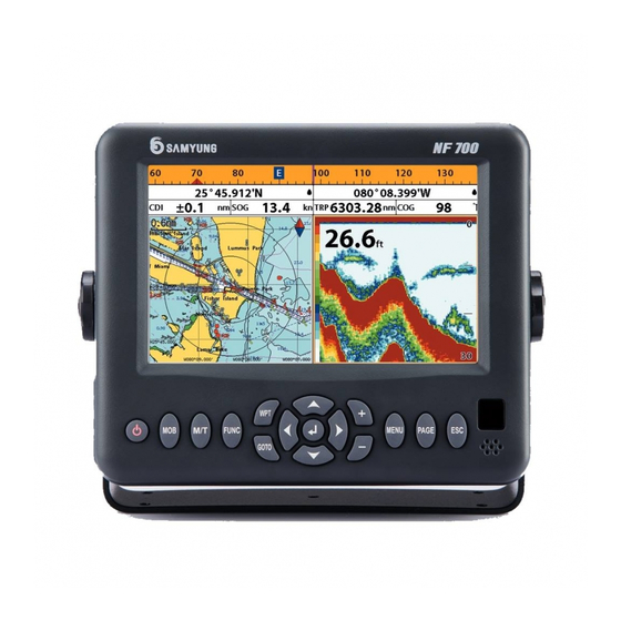
Samyung N700 User Manual
Hide thumbs
1
2
3
4
Table Of Contents
5
6
7
8
9
10
11
12
13
14
15
16
17
18
19
20
21
22
23
24
25
26
27
28
29
30
31
32
33
34
35
36
37
38
39
40
41
42
43
44
45
46
47
48
49
50
51
52
53
54
55
56
57
58
59
60
61
62
63
64
65
66
67
68
69
70
71
page
of
71
Go
/
71
Contents
Table of Contents
Bookmarks
Table of Contents
Fcc Statement
Industry Canada
Screen Cleaning Precautions
1 Introduction
Table of Contents
General Information
Specification
Gps Navigation
Optional Accessories
Packing List
2 Getting Started
Mounting the Unit
Bracket Mounting
Flush Mounting
Keys(Front Key , REM-350 Remote)
NAVIONICS Secure Digital (SD) Card
Chart Selection
Simulate Mode
Data Bar
Compass
Multi Window Displays
Man Overboard (MOB)
3 General Operation
Manual / Auto Power on and off
Brightness, Night Mode and Background
The
Chart
Chart Window
Latitude and Longitude
Chart Scale
Finding a Chart Symbol
S-Map Search
Chart Symbols and Information
Introduction to Navigating
Going to a Waypoint or to a Point on the Chart
Following a Route
Goto Key
Distance and Bearing Calculator
Projected Course
Finding a Char Symbol
Tracks Settings in the Chart Window
Sonar
Interpreting the Display
Mode
Single and Dual Frequency Fish Finding
Range
Gain
Sonar Window Display
No Split
Split Zoom and Full Screen Zoom
Split Bottom
Split 50/200
Split A-Scope
Highway
Gauges
Waypoints
Creating a New Waypoint
Moving a Waypoint
Editing an Existing Waypoint
Deleting a Waypoint
Find a Waypoint
Sort Waypoints
Deleting All Waypoints
Routes
Managing a Route from the Chart Window
Managing a Route from the Route Window
Satellites
Satellite Information
Tides
Ais
Viewing AIS Vessels
AIS Windows
Dsc
Distress
Poll
Navtex
Engine Faults
4 Advance Settings
System Configuration Settings
Language
Chart Selection
Beep Volume
Auto Power
Features
Factory Reset
About
Chart Settings
Rotation
Palette
General(Navionics)
General(S-MAP)
Land & Sea (NAVIONICS)
Land & Sea (S-MAP)
Map Datum
NMEA Datum Offset
Map Shift
Restore Default
Sonnar Settings
Frequency
Palette
Scroll Speed
Digit Size
Fish
Advance Settings
Restore Default
GPS Settings
GPS Source
DGPS Source
Static Navigation
Speed Filter and Course Filter
Lat/Lon D.p"S
Ship Speed
Magnetic Variation
Track & Log Settings
Track
Logs
Memory Settings
Save
Load
Delete
Format
Screen Snap Shot
AIS Settings
Display Filter
Alarm Option
Display Options
Restore Default
Alarms
Fish
Deep
Shallow
Temperature
Temperature Rate
Low Battery
Navigation Alarms
Ais
Dgps
Others
Waypoint
Gps
Units
Comms
Calibrate
Time
Restore Default
Calendar
5 Installation
Options and Accessories
Connections
Power/Data Cable
GPS Antenna
Antenna
The Antenna Using NMEA
Nmea 0183
Nmea 2000
Sonar Transducers
Setup and Test
Advertisement
Quick Links
Download this manual
Table of
Contents
Previous
Page
Next
Page
1
2
3
4
5
Advertisement
Table of Contents
Need help?
Do you have a question about the N700 and is the answer not in the manual?
Ask a question
Questions and answers
Related Manuals for Samyung N700
GPS Samyung N560 User Manual
(68 pages)
GPS Samyung NF100 User Manual
(85 pages)
GPS Samyung NF700 User Manual
(71 pages)
GPS Samyung N430 User Manual
(63 pages)
GPS Samyung NF430 User Manual
(63 pages)
GPS Samyung NAVIS800FS Instruction Manual
(104 pages)
GPS Samyung NAVIS 5100 Instruction Manual
(126 pages)
GPS Samyung AIS-50N User Manual
(68 pages)
GPS Samyung SPR-1400 User Manual
(47 pages)
GPS Samyung SI-30 Manual
(2 pages)
This manual is also suitable for:
F700
Nf700
Table of Contents
Save PDF
Print
Rename the bookmark
Delete bookmark?
Delete from my manuals?
Login
Sign In
OR
Sign in with Facebook
Sign in with Google
Upload manual
Upload from disk
Upload from URL


Need help?
Do you have a question about the N700 and is the answer not in the manual?
Questions and answers