
Related Manuals for Pioneer AVIC-F260


Summarization of Contents
Introduction
Licence agreement
Legal terms and conditions for using the software and database.
About the data for the map database
Information about map data accuracy, modifications, and usage restrictions.
Important safety information
Critical warnings regarding installation, product handling, and electrical safety.
Fuel cost management
Details on how fuel cost calculations are based on user input and are for reference.
Traffic information
Pioneer's responsibility regarding accuracy and changes in traffic information services.
Speed limit indication
Information that speed limits are based on map data and may differ from actual limits.
Lorry navigation
Information on lorry-specific warnings for restricted roads and coverage limitations.
Additional safety information
Safety advice including avoiding battery exhaustion and handling the SD card slot.
Notes before using the system
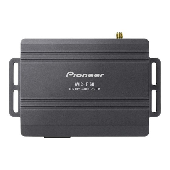
Includes troubleshooting, website info, product details, parts identification, and SD card insertion.
Resetting the microprocessor
Instructions on how and when to reset the navigation system's microprocessor.
Before you start
On first-time startup
Step-by-step guide for the initial setup process upon first use.
Regular startup
Instructions for starting the navigation system after the initial setup is complete.
How to use the navigation menu screens
Screen switching overview
An overview of how to navigate between different screens and menus.
What you can do on each menu
Explains the functions available within each main menu category.
Operating the on-screen keyboard
Guide on using the virtual keyboard for text input.
Monitoring the GPS reception quality
How to check the current accuracy of GPS position information via an icon.
How to use the map
How to read the map screen
Explanation of the various elements displayed on the map screen.
Frequently shown route events
Icons and their meanings for common route events like turns and roundabouts.
Checking the detailed information about the current position
Accessing detailed location data and searching for nearby points of interest.
Browsing the data field
Understanding the information displayed in the data fields during navigation.
Operating the map screen
Covers changing map scale, orientation, and view angle.
Scrolling the map to the position you want to see
Manually moving the map to view specific locations.
Viewing information about a specified location
Displaying details for POIs or saved locations by placing the cursor.
Searching for and selecting a location
Searching for a location by address
Step-by-step guide to finding a location using street and house number.
Searching for POIs using “Quick Search"
Finding places quickly by entering partial names.
Searching for POIs by categories
Browsing and selecting points of interest via categories and subcategories.
Searching for a nearby POI
Locating points of interest in the immediate vicinity.
Selecting a location by using "Find on Map"
Choosing a destination by visually selecting it on the map.
Selecting destination from stored locations
Accessing and selecting previously saved destinations.
Selecting a location you searched for recently
Retrieving and selecting from recent search history.
Searching for a location by coordinates
Pinpointing a location using latitude and longitude values.
Searching for a location by scrolling the map
Manually navigating the map to select a destination.
After the location is decided
Setting a route to your destination
Initiating route calculation after selecting a destination.
Checking route alternatives when planning the route
Reviewing and selecting different route options before starting guidance.
Setting a route using the “My Route” menu
Creating or modifying routes using saved locations or preferences.
Checking and modifying the current route
Displaying the route overview
Viewing the full route path and related information on the map.
Modifying the route calculation conditions
Adjusting factors like vehicle type and road preferences for route calculation.
Setting the waiting time at waypoints
Specifying stopover times to improve arrival time estimates.
Setting driving time alerts
Configuring countdown timers for driver breaks and rest periods.
Modifying the route
Various methods to change an active route, like adding destinations or changing start points.
Registering and editing locations
Storing a location in "Favourites"
Saving frequently visited locations for easy access and routing.
Saving a location as an alert point
Marking points like speed cameras for approaching warnings.
Editing an alert point
Modifying parameters of previously saved alert points.
Using traffic information
Checking historical traffic information
Enabling and using past traffic data for route planning.
Receiving real-time traffic information (TMC)
Activating and using the Traffic Message Channel for live traffic updates.
Checking the traffic incidents on the map
Viewing details of traffic incidents and their impact on the map.
Customising preferences
Displaying the settings screen
Accessing the main settings menu to configure system options.
Setting the volume and the guidance voice for navigation system
Adjusting audio levels, voice prompts, and language for navigation.
Customising the quick menu
Personalizing shortcuts for frequently used menu items.
Customising the map screen settings
Adjusting map appearance, view modes, colours, and displayed elements.
Setting the visual guidance
Customizing on-screen information like data fields and motorway service displays.
Customising the display settings
Adjusting menu animations and screen brightness.
Customising the regional settings
Setting language, units, date/time formats, and time zones.
Setting the Trip Monitor
Managing trip logs, auto-saving, and track logs.
Starting the configuration wizard
Rerunning the initial setup process to modify parameters.
Resetting to the default settings
Restoring all system settings to their factory defaults.
Other operations
More menu
Accessing additional options and applications like settings, converter, and calculator.
Installation
Important safeguards
Critical warnings about self-installation and potential hazards.
Precautions before connecting the system
Safety advice regarding wiring, connections, and power.
Before installing this product
Requirements for power source and battery disconnection before installation.
To prevent damage
Guidelines to avoid product damage during installation, especially concerning grounding and fuses.
Precautions before installation
General precautions regarding placement, interference, and using compatible parts.
Connecting the system
Diagrams and instructions for connecting the navigation unit, GPS, and TMC aerial.
Installing with the hook and loop fastener
Steps for mounting the navigation unit using hook and loop fasteners.
Appendix
Positioning technology
Explanation of how GPS works and factors affecting accuracy.
Handling large errors
Methods used to minimize positioning errors and potential issues.
When positioning by GPS is impossible
Conditions under which GPS positioning cannot be used.
Conditions likely to cause noticeable positioning errors
Factors that can lead to inaccuracies in vehicle position display.
Route setting information
Details on how the system calculates routes and potential limitations.
Auto reroute function
How the system recalculates routes when deviating from the planned path.
SD and SDHC logo
Information about SD and SDHC card logos.
Need help?
Do you have a question about the AVIC-F260 and is the answer not in the manual?
Questions and answers