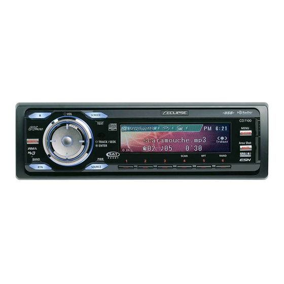
Eclipse E-iSERV CD7100 Operation Manual
E-iserv
Hide thumbs
Also See for E-iSERV CD7100:
- Owner's manual (301 pages) ,
- Installation manual (44 pages) ,
- Owner's manual (118 pages)
Table of Contents

Related Manuals for Eclipse E-iSERV CD7100


Summary of Contents for Eclipse E-iSERV CD7100
- Page 1 E-iSERV Operation Guide CD7100 We appreciate your purchase of this head unit. Please read through this manual in order to ensure correct operation. We suggest that after reading it you keep this manual in a safe place for future reference.
-
Page 2: How To Operate The Area Shot Function (U.s.a./Canada Only)
Using the Area Shot function How to operate the Area Shot function (U.S.A./CANADA only) About the Area Shot function Using the Area Shot function, route data retrieved from the ECLIPSE E-iSERV web site containing maps to predetermined destinations and guidance information can be displayed on your main unit. Importing Area Shot data •... -
Page 3: Area Shot Screen Confi Guration
XXXXXXXX.twn Automatically generated filename File extension XXXXXXXX.ast File extension • Disc formats that may be used are as follows: • CD-ROM (MODE1) • CD-ROM (MODE2_FORM1) * NOTE: CD-ROMs written in MODE2_FORM2 cannot be read. • NOTE: The fi le names can be changed within 8 alphanumeric characters (space cannot be used.) •... - Page 4 Distance remaining : If an optional GPS unit is not connected, this indicates the distance between intersections. When an optional GPS unit is connected, this area indicates the distance from the current vehicle position to the next intersection (accuracy of the distance displayed may vary depending on the quality of GPS unit/reception) Manually selection icons*1*2 : When this icon is visible, the user can cycle forwards/backwards through Guidance Points...
- Page 5 OVERALL VIEW : All over view of the area can be displayed. When GPS reception is available : The user can zoom in on an area Current position can be displayed. (indicated by the red rectangle) as shown in the CLOSE UP VIEW below. CLOSE UP VIEW : Gives the user a more detailed map for the selected area.
- Page 6 Route Assist Operation [CUSTOM/MENU] button : [SELECT] (Upper/Lower) button Activates Menu Selection mode Jumps to next/previous Guidance Point. (press and hold for more than 1 second). [MODE] button : [MUTE/Area Shot] button : Switches between the Route Assist mode Turns the Area Shot function ON/OFF and the Town map mode (press and hold for (press and hold for more than 1 second).
- Page 7 ATTENTION When the Scroll Pattern is set to “Repeat”, the information text will be scrolled repeatedly at a certain time (For details of the operation, see the Owner’s Manual). Displaying vicinity POI information POI locations and information can be displayed if POI data has been downloaded from the E- iSERV website along with map data.
- Page 8 ATTENTION The ‘POI Select’ is operable only when the Area Shot mode is activated and the Route Assist is selected. Displaying POI information Press the button [1] to [5] to display the corresponding POI information, when the POI icons are displayed on the map. The POI information displayed consists of : •...
-
Page 9: Changing Map Scale
Cycling through Guidance Points Use the [SELECT] (Upper/Lower) buttons to cycle back and forth through all of the Guidance Points. Upper : Jumps to a later guidance point than that currently being displayed in the guidance list screen. Lower : Jumps to an earlier guidance point than that currently being displayed in the guidance list screen. - Page 10 GPS Functions (optional GPS unit required) The following functions become available in addition to the aforementioned standard functions when an optional GPS unit is connected : • Current position is displayed • Automatic map switching • Guidance tone • Automatic volume adjustment (For details of the operation, see ‘AVL (Automatic Volume Levelizer) setting’...
- Page 11 Display switches to Route map* The current position mark enters the range of the next Guidance Point map. Display switches to Guidance Point map Current position moves outside the range of the Guidance Point map. Display switches back to Route map* Display continues to alternate between Guidance Point route map and Guidance Point map view.* * The route map may not be displayed if the distance to the guidance point is too short.
- Page 12 Other driving assistances The guidance tone will sound at certain times, such as when the map is switched or when entering the vicinity of a guidance point (within about a 0.2 mile radius), to inform you of the guidance point. The setting method for Guidance Tone is as follows : Press and hold the [CUSTOM] button for more than one second.
- Page 13 Town Map Operation Using this function Town Map of a specified area can be displayed onscreen (data must be downloaded from the ECLIPSE E-iSERV web site prior to use). [CUSTOM/MENU] button : [MODE] button : Activates Menu Selection mode Switches between the Route Assist (press and hold for more than 1 second).
- Page 14 Use the [SELECT] (Upper/Lower/Right/Left) button to move the map selection frame in Town Map overall view or to jump to the next map in the corresponding heading in close up view. Upper : Jumps to the next map screen to the North of the current map displayed. Lower : Jumps to the next map screen to the South of the current map displayed.
- Page 15 Automatic map switching Using your vehicle position information, the current location is displayed on the map. When the CLOSE UP VIEW is selected, the map automatically scrolls according to your vehicle position. Press the [RTN] button when the CLOSE UP View is selected. When the area where your vehicle position mark is not included is displayed with the [SELECT] (Upper/Lower/Right/Left) button, the icon is displayed.
- Page 16 Motion Picture customization Importing display data About the Motion Picture Customize Load the Display data in the USB memory or CD-R, which is downloaded from the E-iSERV (web site), to the unit. For details of the operation, see ‘Importing display data (DISP Data)’ in the Owner’s Manual.
- Page 17 data other than the import data has also been saved to the CD-R. * The Motion Picture, Wallpaper and SlideShow created using the ”Cutting Board” can also be written to the USB memory or CD-R. Load the downloaded data from the USB memory or CD-R to the unit. For details of the operation, see 'Importing display data (DISP Data)' in the Owner's Manual.
-
Page 18: Importing Sound Data
Audio customize Importing Sound Data About the Audio Customize Audio Customize provides the best acoustic settings suited for your in-car environment with ECLIPSE's unique acoustic correction algorithm. How to operate the Audio Customize Analyze the frequency characteristic and write it to the USB memory. Use an optional microphone to analyze the frequency characteristic. - Page 19 Upload the analyzed frequency characteristic data to the E-iSERV website, and make adjustment on the website. For details of the operation, see the HELP page on the website. Load the adjusted data from the USB memory to the unit. For details of the operation, see 'Importing Sound Data (Sound Data)' in the Owner's Manual.
-
Page 20: Steering Remote Control
Steering Remote Control Importing steering remote data (U.S.A. only) About the Steering Route Control The vehicle’s factory loaded steering remote becomes inoperable when the CD7100 is installed. The ECLIPSE web site (E-iSERV) provides software that enables steering remote operation even with the installation of the main unit. - Page 21 Load the downloaded data from the USB memory or CD-R to the unit. For details of the operation, see ' Reading steering remote data (U.S.A. only) ' in the Owner's Manual. ATTENTION • This function is available only for the vehicles that have steering remote with the voltage detection type interface.