Table of Contents
Advertisement
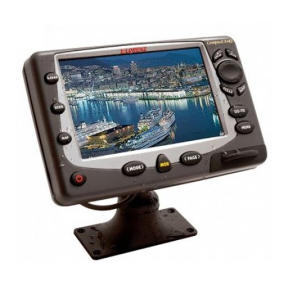
PANORAMIC 8 SUN
Sunlight Readable Display Color Chartplotter with external GPS Receiver
Sunlight Readable Display Color Chartplotter with internal GPS Receiver
Copyright 2006 LORENZ ELECTRONICS Italia.
All rights reserved. Printed in Italy. No part of this publication may be reproduced or distributed in any
means, or stored
in a database or retrieval system, without prior written permission of the publisher.
MARINE ELECTRONICS
One Touch To Choose Your World
CODE: S3egLZ7wc 1100e805/110406
COMPACT 8 SUN
CODE: S3igLZ7wc 1100e805/110406
U
M
SER
ANUAL
form or by any
Advertisement
Table of Contents


Need help?
Do you have a question about the PANORAMIC 8 SUN and is the answer not in the manual?
Questions and answers