Sign In
Upload
Download
Table of Contents
Contents
Add to my manuals
Delete from my manuals
Share
URL of this page:
HTML Link:
Bookmark this page
Add
Manual will be automatically added to "My Manuals"
Print this page
×
Bookmark added
×
Added to my manuals
Manuals
Brands
Garmin Manuals
GPS
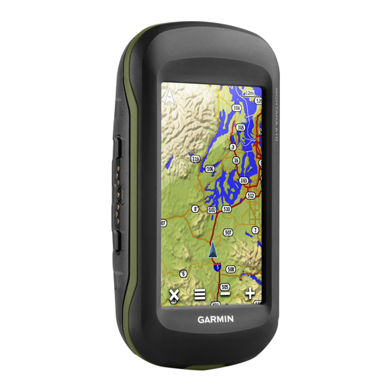
Montana 610
Owner's manual
Garmin Montana 610 Owner's Manual
Hide thumbs
1
2
Table Of Contents
3
4
5
6
7
8
9
10
11
12
13
14
15
16
17
18
19
20
21
22
23
24
page
of
24
Go
/
24
Contents
Table of Contents
Troubleshooting
Bookmarks
Table of Contents
Table of Contents
Introduction
Getting Started
Turning on the Device
Waypoints
Editing a Waypoint
Tracks
Archived Tracks
Navigation
Optional Maps
Resetting the Trip Computer
Camera and Photos
Viewing Photos
Applications
ANT+ Sensors
Tempe
Changing the Units of Measure
Advanced Map Settings
Fitness Settings
Setting the Device Tones
Transferring Files to Your Device
Troubleshooting
Appendix
Appendix
Index
Advertisement
Quick Links
1
Table of Contents
2
Introduction
3
Turning on the Device
4
Tracks
5
Editing a Waypoint
6
Optional Maps
Download this manual
Montana
610/680
®
Owner's Manual
September 2015
Printed in Taiwan
190-01940-00_0A
Table of
Contents
Previous
Page
Next
Page
1
2
3
4
5
Advertisement
Table of Contents
Need help?
Do you have a question about the Montana 610 and is the answer not in the manual?
Ask a question
Questions and answers
Related Manuals for Garmin Montana 610
GPS Garmin Monterra Quick Start Manual
Garmin gps (6 pages)
GPS Garmin Monterra Owner's Manual
Garmin gps (18 pages)
GPS Garmin Montana 650 Owner's Manual
Garmin montana 650: user guide (70 pages)
GPS Garmin Montana 600 Series Owner's Manual
(90 pages)
GPS Garmin Skoda Navigation User Manual
Skoda navigation (137 pages)
GPS Garmin Montana 700 Series Owner's Manual
(34 pages)
GPS Garmin MONTANA 700 Series Owner's Manual
(70 pages)
GPS Garmin MONTANA 760i Owner's Manual
(78 pages)
GPS Garmin iQue M3 Quick Reference Manual
Integrated handheld (20 pages)
GPS Garmin iQue M4 Quick Reference Manual
Integrated handheld (36 pages)
GPS Garmin iQue M5 Application Manual
Integrated handheld (70 pages)
GPS Garmin MX20 Pilot's Manual
Color multi-function display (152 pages)
GPS Garmin MX20 User Manual
Multi-function display (130 pages)
GPS Garmin BLUECHART G2 User Manual
Marine cartography (24 pages)
GPS Garmin maps plus more User Manual
Volkswagen maps plus more (173 pages)
GPS Garmin FUSION MS-RA70NSX Installation Instructions Manual
(14 pages)
This manual is also suitable for:
Montana 680
Table of Contents
Save PDF
Print
Rename the bookmark
Delete bookmark?
Delete from my manuals?
Login
Sign In
OR
Sign in with Facebook
Sign in with Google
Upload manual
Upload from disk
Upload from URL


Need help?
Do you have a question about the Montana 610 and is the answer not in the manual?
Questions and answers