Lowrance GlobalMap 3600C iGPS Manuals
Manuals and User Guides for Lowrance GlobalMap 3600C iGPS. We have 2 Lowrance GlobalMap 3600C iGPS manuals available for free PDF download: Operation Instructions Manual
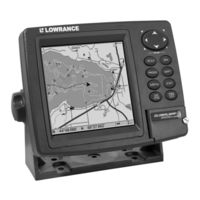
Lowrance GlobalMap 3600C iGPS Operation Instructions Manual (136 pages)
Mapping GPS Receiver
Table of Contents
Advertisement
Lowrance GlobalMap 3600C iGPS Operation Instructions Manual (136 pages)
Mapping GPS Receiver
Table of Contents
Advertisement