Advertisement
Quick Links
Advertisement

Related Manuals for Garmin Rino 700 Series


Summary of Contents for Garmin Rino 700 Series
- Page 1 Rino 700 Series ® Owner’s Manual August 2016 190-01987-00_0A...
- Page 2 All rights reserved. Under the copyright laws, this manual may not be copied, in whole or in part, without the written consent of Garmin. Garmin reserves the right to change or improve its products and to make changes in the content of this manual without obligation to notify any person or organization of such changes or improvements.
- Page 3 Viewing SAME Weather Alerts on the Map ......6 Viewing the Elevation Plot of a Route ........11 Geocaches..............6 Garmin Adventures............11 Registering Your Device at Geocaching.com ......6 Sending Files to BaseCamp ............. 11 Connecting to Geocaching.com ..........6 Creating an Adventure ..............
- Page 4 Viewing an Activity History ........... 13 Troubleshooting............21 Deleting an Activity from Your History ......... 13 Using Garmin Connect ............13 My handheld device is not responding ........21 Optional Fitness Accessories ..........13 My device does not turn on ............21 About Heart Rate Zones ............
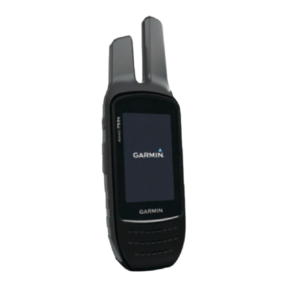
- Page 5 Garmin . Attempting to charge a battery that ® 2.5 mm headset jack (under weather cap) was not provided by Garmin can damage the device and void Battery cover D-ring the warranty. microSD card slot (under battery door) ™...
- Page 6 Installing AA Batteries Instead of the Lithium-Ion battery pack (Installing the Lithium-ion Battery, page 1), you can use four alkaline, NiMH, or lithium AA batteries with an optional AA battery pack (not included). This is useful when you are on the trail and cannot charge the Lithium- Ion battery pack.
- Page 7 18). other compatible radio devices. NOTE: GMRS frequencies are regulated by the FCC in the When communicating with other Garmin Rino devices, United States. To transmit on GMRS frequencies, you must additional features are available. obtain a license from the FCC...
- Page 8 Select Monitor. The new contact is saved in your contacts list. Viewing Contacts on the Map Scanning Channels From the main menu, select Contacts. You can scan the channels for voice activity. This can help you find a channel with light activity for your group to use, or to find TIP: To open the contacts app from the radio app, select other radio users in the area.
- Page 9 New Zealand. GMRS repeater channels are not Connect IQ Features available in Canada (Repeater Channels, page You can add Connect IQ features to your device from Garmin Advanced Radio Setup and other providers using the Garmin Connect Mobile app. You From the radio app, select >...
- Page 10 Opening the Weather App • Connect to the Garmin Connect app. From app drawer, select Weather. Searching for a Geocache Viewing Weather Conditions and Forecasts You can search the geocaches loaded on your device. If you are To view forecast and weather radar information, you must connected to geocaching.com, you can search live geocache...
- Page 11 • To stop logging, select Done. A chirp is a small Garmin accessory that is programmed and left • To enter a comment about looking for the cache or about in a geocache. You can use your device to find a chirp in a the cache itself, select Edit Comment, enter a comment, geocache.
- Page 12 • To record a different activity type, proceed to step 2. Complete an action: From the app drawer, select Activity Change. • If you selected Auto for the Record Method, select an option to record activities more or less often. Select the activity name.
- Page 13 You can point the device at an object in the distance with the go to http://buy.garmin.com or contact your Garmin dealer. compass direction locked in, project the object as a waypoint, and navigate using the object as a reference point.
- Page 14 Elevation Plot • Select Search Near to search near a recently found location, another waypoint, your current location, or a By default, the elevation plot displays the elevation over the point on the map. distance traveled. The top chart displays the full track, and the •...
- Page 15 • To view the point on the map, select Review. Open the Garmin or memory card drive or volume. • To change the order of the points on the route, select Select an option: Move Up or Move Down.
- Page 16 Camera and Photos From the app drawer, select an option: • To view device activity for specific days, select Calendar. NOTE: This feature is available only for models that include a • To view the sunrise, sunset, moonrise, and moonset camera.
- Page 17 When your phone receives messages, it accessories. sends notifications to your device. • Bring the Garmin device within range 3 m (10 ft.) of the ANT+ Hiding Notifications accessory. Notifications are enabled by default when you pair your device •...
- Page 18 Customizing the Keys multiple actions simultaneously. If the shortcut does not appear in the list, you can create it (Creating a Shortcut, page 14). You can customize some device key actions to provide quick From the app drawer, select Setup > Shortcuts. access to menus, settings, apps, or other device functions.
- Page 19 Interface: Sets the communication interface mode to Garmin some activities. The Distance option routes you to the next Spanner, Garmin Serial, NMEA In/Out, Text Out, RTCM, or point on the route when you are within a specified distance of MTP.
- Page 20 Elevation assumes the device is stationary at a fixed cycling, and more. This allows your activity to appear as the elevation, so the barometric pressure should only change correct type when you transfer it to Garmin Connect. due to weather. User: Sets the user profile information...
- Page 21 Waypoints. Garmin Express (www.garmin.com/express) provides easy ™ access to these services for Garmin devices. • To clear the data recorded since you started your current activity, select Clear Current Activity. • Product registration NOTE: The device continues to record new data for the •...
- Page 22 Deleting Files • GPI custom POI files from the Garmin POI Loader. Go to www.garmin.com/products/poiloader. NOTICE • FIT files for exporting to Garmin Connect. If you do not know the purpose of a file, do not delete it. Your device memory contains important system files that should not Installing a Memory Card be deleted.
- Page 23 Channel Transmit Receive Channel Description Channel Transmit Receive Channel Number Frequency Frequency Number Frequency Frequency Description (MHz) (MHz) (MHz) (MHz) 462.5625 462.5625 GMRS Interstitial 1, 476.6750 476.6750 FRS 1 476.7000 476.7000 462.5875 462.5875 GMRS Interstitial 2, 476.7250 476.7250 FRS 2 476.7500 476.7500 462.6125...
- Page 24 Channel Number Receive Frequency Channel Description DCS Code DCS Code DCS Code (MHz) WX 3 162.475 NOAA 3 (Weather radio) WX 4 162.425 NOAA 4 (Weather radio) WX 5 162.450 NOAA 5 (Weather radio) WX 6 162.500 NOAA 6 (Weather radio) WX 7 162.525 NOAA 7 (Weather radio)
- Page 25 10 m (33 ft.) of the device. Battery Level: The remaining battery power. • Go to www.garmin.com/bluetooth for more help. Bearing: The direction from your current location to a destination. You must be navigating for this data to appear.
- Page 26 ETA at Destination: The estimated time of day when you will Speed Limit: The reported speed limit for the road. Not reach the final destination (adjusted to the local time of the available in all maps and in all areas. Always rely on posted destination).
- Page 27 Heart Rate Zone Calculations Zone % of Perceived Exertion Benefits Maximum Heart Rate 50–60% Relaxed, easy pace, Beginning-level rhythmic breathing aerobic training, reduces stress 60–70% Comfortable pace, Basic cardiovascular slightly deeper training, good breathing, conversation recovery pace possible 70–80% Moderate pace, more Improved aerobic difficult to hold capacity, optimal...
- Page 28 Garmin Connect 5 alarms peer-to-peer positioning 4 storing data 13 clock 12 scan 4 Garmin Express marine 16 settings 4, 5 registering the device 17 proximity 12 volume 3 updating software 17 tones 15 registering the device 6, 17 geocaches 6, 7, 17 almanac resetting the device 17, 21 downloading 7...
- Page 29 saving 10 weather 5, 6 radio 5, 6 Where To? 9 widgets 5 zones, heart rate 13 Index...
- Page 30 +34 93 275 44 97 +27 (0)11 251 9800 + 46 7744 52020 +886 2 2642-9199 ext 2 +49 (0) 89 858364880 0808 238 0000 zum Ortstarif - Mobilfunk +44 870 850 1242 kann abweichen 913-397-8200 1-800-800-1020 © 2016 Garmin Ltd. or its subsidiaries...