Sign In
Upload
Manuals
Brands
Geoscan Manuals
Drones
gemini
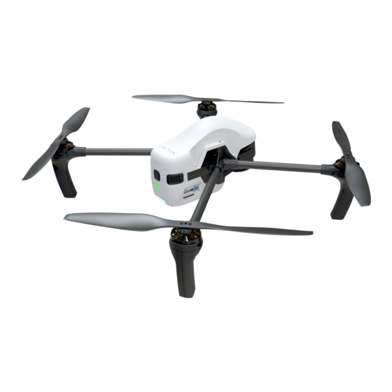
User Manuals: Geoscan gemini Aerial Imaging System
Manuals and User Guides for Geoscan gemini Aerial Imaging System. We have
1
Geoscan gemini Aerial Imaging System manual available for free PDF download: User Manual
Geoscan gemini User Manual (54 pages)
Brand:
Geoscan
| Category:
Drones
| Size: 6 MB
Table of Contents
Table of Contents
2
Introduction
4
Abbreviations List
5
Main Information
6
In the Box
7
Service
8
Storage
8
Safety Rules
9
Aircraft
10
Aircraft Diagram
10
Key Features
11
Internal and External Storage
12
UAV Indication
13
Assembly
14
Propellers
14
Battery Installing and Ejecting
15
SD Card Installation
15
Digital Camera
16
Camera Settings
16
Camera Rotation
19
Lens Protection
19
Flight Battery
20
Operating Rules
20
Battery Indication and Control
21
Battery Charger
22
Safety Rules
22
Parts and Operating Modes
23
Charge Mode
24
Storage Mode
24
Firmware Update
25
Launch Area Requirements
26
Geoscan Planner Software
27
Flight Task
27
Aerial Surveying
29
Adding and Removing of Polygon Vertexes
29
Change Flight Route Direction
30
Start Point Changing
32
Linear Surveying
33
Flight by Points
34
Waiting Point
35
Landing Point
36
Connection Settings
37
Radiomodem Connecting
37
UAV Connecting to Geoscan Planner
39
Magnetic Compass Calibration
40
Start Preparing
41
Flight
44
Cancel Tool
45
Immediate Landing
45
Guided Flight
46
Flight Without Using the Magnetic Compass
47
Semi-Automatic Control
48
Launch
49
UAV Disassembly
50
Appendix
51
Specifications
51
Advertisement
Advertisement
Related Products
Geoscan Gemini UAV
Geoscan 201
Geoscan 401
Geoscan Lite
Geoscan Pioneer
Geoscan Pioneer Mini
Geoscan Categories
Drones
Multiplexer
More Geoscan Manuals
Login
Sign In
OR
Sign in with Facebook
Sign in with Google
Upload manual
Upload from disk
Upload from URL