Table of Contents
Advertisement
Quick Links
Advertisement
Table of Contents

Related Manuals for Garmin AA2401


Summary of Contents for Garmin AA2401
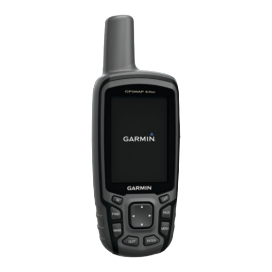
- Page 1 AA2401 Owner’s Manual...
- Page 2 © 2013–2016 Garmin Ltd. or its subsidiaries All rights reserved. Under the copyright laws, this manual may not be copied, in whole or in part, without the written consent of Garmin. Garmin reserves the right to change or improve its products and to make changes in the content of this manual without obligation to notify any person or organization of such changes or improvements.
- Page 3 Device Information............11 Navigating a Saved Route ............. 5 Support and Updates ..............11 Viewing the Active Route ............5 Setting Up Garmin Express ..........11 Stopping Navigation ............... 5 Registering Your Device ............11 Reversing a Route ..............5 Attaching the Carabiner Clip .............
- Page 4 Turning On the Backlight ............13 Optional Accessories ..............13 tempe™ ................13 Using Optional Fitness Accessories ........13 Tips for Pairing ANT+ Accessories with Your Garmin Device ..................13 Troubleshooting ................ 13 Resetting the Device ............13 Viewing Device Information ..........13 Restoring All Default Settings ..........
-
Page 5: Device Overviews
Introduction Camera lens microSD card slot (under batteries) WARNING Battery compartment See the Important Safety and Product Information guide in the Mounting spine product box for product warnings and other important Battery cover D-ring information. Battery Information Device Overviews WARNING Device Overview The temperature rating for the device may exceed the usable range of some batteries. -
Page 6: Installing Aa Batteries
Garmin . Attempting to charge a battery that ® was not provided by Garmin can damage the device and void the warranty. Before you can connect the straight connector of the USB cable to your device, you may need to remove optional mount accessories. -
Page 7: Trip Computer
Map Information: Enables or disables the maps currently direction, and navigate to the object. loaded on the device. NOTE: Sight 'N Go is available only with AA2401 series devices. Advanced Map Settings Select Setup > Map > Advanced Map Setup. -
Page 8: Elevation Plot
You can create a new location by projecting the distance and Elevation Plot bearing from a marked location to a new location. Select Waypoint Manager. NOTE: The elevation plot is available only with AA2401 series devices. Select a waypoint. By default, the elevation plot displays the elevation over the Select MENU >... -
Page 9: Purchasing Additional Maps
Select Go. Select Route Planner. Select a route. Purchasing Additional Maps Select Delete Route. Go to your device product page at www.garmin.com. Navigating a Saved Route Click the Maps tab. Select FIND > Routes. Follow the on-screen instructions. Select a route. -
Page 10: Area Calculation
Select MENU > View Information > Go. chirp ™ A chirp is a small Garmin accessory that is programmed and left Deleting a Photo in a geocache. You can use your device to find a chirp in a Select Photo Viewer. -
Page 11: Garmin Adventures
® NOTE: Some settings are only available when Use Demo Mode is enabled. NOTE: The VIRB Remote feature is available only with AA2401 series devices. Use Demo Mode: Allows you to turn the GPS off. Before you can use the VIRB Remote function, you must enable Use Satellite System: Allows you to turn the GPS on. -
Page 12: Additional Main Menu Tools
Select > MENU. Compass Heading: The direction you are moving based on the compass. Select a notification. Course: The direction from your starting location to a Hiding Notifications destination. Course can be viewed as a planned or set route. By default, notifications appear on the device screen when they You must be navigating for this data to appear. -
Page 13: System Settings
(format, time zone, daylight saving Select Setup > System > Interface. time). Garmin Spanner: Allows you to use the device USB port with Time To Destination: The estimated time remaining before you most NMEA 0183-compliant mapping programs by creating a reach the destination. - Page 14 The device may feel warm when the backlight setting is high. Setting the Device Tones You can customize tones for messages, keys, turn warnings, and alarms. Select Setup > Tones > Tones > On. Select a tone for each audible type. Camera Settings Select Setup >...
-
Page 15: Altimeter Settings
Device Information Altimeter Settings NOTE: The altimeter is available only with AA2401 series Support and Updates devices. Garmin Express (www.garmin.com/express) provides easy ™ Select Setup > Altimeter. access to these services for Garmin devices. Auto Calibration: Automatically calibrates the altimeter each •... -
Page 16: Specifications
• GGZ geocache files. Go to www.garmin.com/geocache. The file appears in the list of files in the device memory or on • JPEG photo files. the memory card. • GPI custom POI files from the Garmin POI Loader. Go to Deleting Files www.garmin.com/products/poiloader. NOTICE Installing a Memory Card If you do not know the purpose of a file, do not delete it. -
Page 17: Troubleshooting
• Before you pair the ANT+ accessory with your Garmin device, move 10 m (32.9 ft.) away from other ANT+ accessories. • Bring the Garmin device within range 3 m (10 ft.) of the ANT+ accessory. • After you pair the first time, your Garmin device automatically recognizes the ANT+ accessory each time it is activated. - Page 18 5, 9–11, 13 files, transferring 6, 12 device 11 flashlight 6 sharing data 6 Sight N' Go 3 smartphone 6 Garmin Connect 7 applications 7 Garmin Express 11 pairing 7 registering the device 11 software updating software 11 license 13 geocaches 6, 12 updating 11 downloading 6 version 13 GLONASS 9 specifications 12...
- Page 20 00800 4412 454 +47 815 69 555 +44 2380 662 915 +35 1214 447 460 +386 4 27 92 500 0861 GARMIN (427 646) +34 93 275 44 97 +27 (0)11 251 9800 + 46 7744 52020 +886 2 2642-9199 ext 2...