Table of Contents
Advertisement
Advertisement
Table of Contents

Related Manuals for Garmin 276Cx


Summary of Contents for Garmin 276Cx
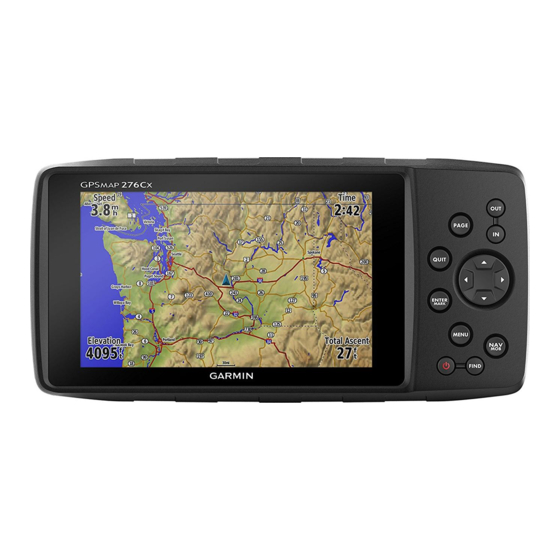
- Page 1 GPSMAP 276Cx ® Owner’s Manual...
- Page 2 © 2016 Garmin Ltd. or its subsidiaries All rights reserved. Under the copyright laws, this manual may not be copied, in whole or in part, without the written consent of Garmin. Garmin reserves the right to change or improve its products and to make changes in the content of this manual without obligation to notify any person or organization of such changes or improvements.
-
Page 3: Table Of Contents
Optional Fitness Accessories ........... 10 Tracks ..................5 Pairing Your ANT+ Sensors ..........10 Recording a Track ..............5 Tips for Pairing ANT+ Accessories with Your Garmin Viewing the Active Track ............5 Device .................. 11 Saving the Active Track ............5 Data Management .............. - Page 4 Index ................13 Table of Contents...
-
Page 5: Introduction
Introduction Marine mode: By default, five main pages appear in marine mode: map, compass, highway, active route, and position data. You can turn on the altimeter page in the display WARNING settings (Display Settings, page See the Important Safety and Product Information guide in the product box for product warnings and other important Automotive mode: By default, two main pages appear in information. -
Page 6: Installing The Battery Pack
Garmin . Attempting to charge a battery that ® Follow the on-screen instructions. was not provided by Garmin can damage the device and void the warranty. Connected Features Before you can connect the straight connector of the USB cable... -
Page 7: Setting Up Wi‑Fi Connectivity
Pairing a Smartphone with Your Device • To show a unique color for each satellite and its signal strength bar, select Multicolor. You should pair your GPSMAP 276Cx device directly through the Garmin Connect Mobile app. Turning Off GPS Bring your compatible smartphone within 10 m (33 ft.) of your You can turn off GPS on your device to stop tracking your device. -
Page 8: Waypoints, Routes, And Tracks
Waypoints, Routes, and Tracks Editing a Waypoint Select Points. Waypoints Select a waypoint. Waypoints are locations you record and store in the device. Select an item to edit, such as the name. Waypoints can mark where you are, where you are going, or Enter the new information, and select Done. -
Page 9: Deleting A Route
You should enter fuel flow rates based on tracks from your device to your computer for saving and viewing information for your vehicle (such as the operator’s manual or using the Garmin BaseCamp ™ application. performance specifications), and make note of the units of measure (gallons or liters). -
Page 10: Navigation
The track moves from the saved tracks list to the archived tracks list. Navigation Find Menu You can use the find menu to search for waypoints, cities, and coordinates. You can download and navigate to items, such as photos and tracks. Additional categories appear if you have Course line pointer. -
Page 11: Navigating To A Point On The Elevation Plot
You can download and view detailed satellite imagery on your To view current weather forecast information, you must connect device using Garmin BaseCamp software and a BirdsEye your device to a smartphone with Garmin Connect Mobile imagery subscription. Go to garmin.com/birdseye (Pairing a Smartphone with Your Device, page garmin.com/basecamp... -
Page 12: Customizing The Device
• To view the weather radar on the map, select Map. Auto Zoom: Automatically sets the zoom level for optimal use of your map. When Off is selected, you must zoom in or out manually. Customizing the Device Lock On Road: Locks the blue triangle, which represents your position on the map, onto the nearest road. -
Page 13: Gps Satellite Settings
Select Setup > System > Interface. faster. Garmin Spanner: Allows you to use the device USB port with Color: Changes the color of the track line on the map. most NMEA 0183-compliant mapping programs by creating a Auto Archive: Sets an automatic archive method to organize virtual serial port. -
Page 14: Altimeter Settings
• Tracks (GPX/FIT) records your activity as both a Select a unit of measure. traditional track that can be viewed on the map and used for navigation, and as an activity with fitness information. Location Settings Trip Recording: Sets a trip recording option. NOTE: You should not change the position format or the map Recorded Data Reset: Sets a reset option. -
Page 15: Tips For Pairing Ant+ Accessories With Your Garmin Device
10 m (32.9 ft.) away from other ANT+ and as mounted volumes on Mac computers. accessories. • Bring the Garmin device within range 3 m (10 ft.) of the ANT+ Transferring Files to Your Device accessory. Connect the device to your computer. - Page 16 2.4 GHz ANT+ wireless communications protocol Bluetooth and Wi‑Fi enabled device Compass safe distance 30 cm (11.8 in.) *The device withstands incidental exposure to water of up to 1 m for up to 30 min. For more information, go to www.garmin.com /waterrating. Device Information...
- Page 17 Garmin Connect 2, 3 Garmin Express 2, 3 temperature 11 registering the device 2 tides 7 updating software 2 time settings 10 geocaches 11 time zones 10 GLONASS 3 timer settings 10 GPS 3...
- Page 18 00800 4412 454 +47 815 69 555 +44 2380 662 915 +35 1214 447 460 +386 4 27 92 500 0861 GARMIN (427 646) +34 93 275 44 97 +27 (0)11 251 9800 + 46 7744 52020 +886 2 2642-9199 ext 2...