Sign In
Upload
Manuals
Brands
Raytheon Manuals
GPS
RayChart 601XX
Raytheon RayChart 601XX Manuals
Manuals and User Guides for Raytheon RayChart 601XX. We have
1
Raytheon RayChart 601XX manual available for free PDF download: Operation Manual
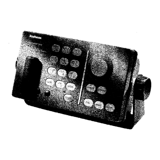
Raytheon RayChart 601XX Operation Manual (94 pages)
Raymarine Raychart 601XX Chartplotter: User Guide
Brand:
Raytheon
| Category:
GPS
| Size: 5 MB
Table of Contents
Table of Contents
5
Introduction
9
General Information
9
Installation
13
General
13
Unpacking and Inspection
13
Equipment Supplied
14
Items Supplied
14
Optional Accessories
14
Mounting the Unit
15
Selecting the Location
15
Mounting the Controller Unit
16
Console Mounting
17
Connections
18
Electrical Connections
19
Power Input
19
Connection to the XX Radar
20
Connection to the RL-9 Radar Display
21
Connection to the X-Series Radar Display
21
GPS Sensor
22
Seatalk Interface
23
Data Input/Output Connections
24
Printer Output
24
Data Connector
24
Connector Assembly Instruction
25
Printer Format Requirements
25
Post Installation Setups
26
Ground
26
Selecting Radar Type
26
Selecting the Data Input
27
Data Output Format
27
Selecting the Data Input Port
27
GPS Sensor Test
28
Operation
29
General Comments
29
The Raychart Display
29
The Controller Layout
30
The Tower Key Group
32
The Bright Key
33
The DIM Key
33
The Chart Control Group
34
Getting Started with Charts
34
Finding the Charts
34
The Trackpad & Cursor
36
Recalling Background Navaid Data
36
Cursor Modes
37
Cursor Mode
37
The HOME Mode
38
Remote PAN Mode
39
Waypoints and Route Plans
40
Clearing the Current Route Plan
43
Making a New Route Plan
44
Direct L/L Waypoint Entry
45
Editing a Route Plan
46
Adding Waypoints
46
Inserting a Waypoint
46
Deleting Waypoints
47
Listing the Route Plan Table
47
Printing the Route Plan or Printing the Screen
48
Following a Route Plan
49
Auto/Manual Sequencing
50
Bypassing Waypoints in a Route Plan
51
The Function Key Group
52
Making a Mark On-Screen with the Cursor
52
Marking by Range and Bearing
53
Editing a Mark Position by Latitude/Longitude
53
Displaying a Track History
55
Recording Track Lines
55
Setting Track Interval
56
Erasing Track
57
Internal Memory Menu
58
Memory Menus and File Labels
59
Saving Route, Marks, Events to Memory
59
Saving Track History Files
60
Loading Files to Active Memory
60
Saving to a User Data Card
61
Clearing Marks or Events in Active Memory
62
Erasing Memory Files
62
The R/B Key
66
Map Settings
67
Natural Settings
68
Marine Settings
68
Depth Functions
68
Naval Aids Settings
69
Other Settings Menu
70
Chart Settings Menu
70
Boundaries
70
Smooth Scroll
70
Setup Functions
71
Waypoint Arrival Alarm
71
Setting the Internal Clock
73
Making a Position Correction
73
To Apply a Position Correction
74
Heading Lines
75
Selecting the Bearing Type
76
Map Rotation & Resolution
76
The Installation Menu
77
Language
77
Input Data
77
Output Data
78
Port
78
Seatalk Display Functions
79
Seatalk Data Page
79
Seatalk Depth Graph Page
80
Seatalk True Windgraph Page
80
Seatalk Speed Graph Page
80
Seatalk Position Log Page
81
Maintenance
82
General Tests
82
System Unit Tests
83
Serial Interface Test
83
Connector Test
84
Input Data Display
84
Change Parameters
84
C - Card
85
Keyboard Test
85
Master Reset
86
Horizontal Sync
86
Replacing the Battery
87
C-MAP Cartridge Faults
87
Troubleshooting Chart
87
Specifications
88
Parts List
90
Replacement Parts
90
NT Cartography Symbols
91
Advertisement
Advertisement
Related Products
Raytheon RayChart 600XX
Raytheon RayChart 610EST
Raytheon RayChart 620
Raytheon 611EST
Raytheon 198
Raytheon E32001
Raytheon E32002
Raytheon NSC 18
Raytheon Raystar 112LP
Raytheon Raystar198GPS
Raytheon Categories
Marine Equipment
Aircrafts
GPS
Radar
Compass
More Raytheon Manuals
Login
Sign In
OR
Sign in with Facebook
Sign in with Google
Upload manual
Upload from disk
Upload from URL