
Summary of Contents for HEX here3
- Page 1 ...
-
Page 2: Specification
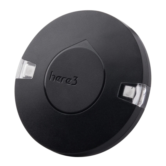
Here3 GPS Manual Overview The Here3 GPS is a high precision GNSS system that supports RTK mode, built with CAN protocol. It is also designed to be dust-proof and splash proof up to a certain limit. Equipped with STM32F302 processor, the Here3 provides faster processing speed and better reliability. - Page 3 Configuration 1. Using Ardupilot Firmware: Using one Here3: Connect the 4pin CAN cable connector to CAN1 or CAN2 port on flight controller. power the flight controller and connect it to Mission Planner. Go to "Config/Tuning > Full Parameter List" and modify the following paramters:...
- Page 4 You need the latest Ardupilot firmware to manually assign different node ids to Here3 to work properly (node ids are 0-125). Connect each Here3 4Pin CAN cable to the CAN1 port of the flight controller(one at a time), and conduct the following procedure. Select "install firmware" from Mission Planner and load the latest copter and plane firmware.
- Page 5 In parameter setting page, change uavcan.node_id to 0-125. Click before entering value. Then, click "Commit Params" to save the changes and completed manual CAN id allocation. After manually setting the two Here3 node ids in turn,Connect the two Here3 interfaces to the flight controller CAN 1 and CAN 2, respectively.
- Page 6 Cube Orange, the CAN GPS external compass is automatically set to compass 2. Safety switch is not available in Here3. Safety switch check can be disabled by changing parameter "BRD_SAFETYENABLE" to 0. Connecting an external safety switch to GPS1 connector is also an alternative option.
- Page 7 To use CAN external compass as compass 1, use the up arrow on the right to move the "UAVCAN" compass to the first place. Select the compasses that need to be used (or leaving it as default), and then click "Start" to Start the calibration of the compasses.
- Page 8 Current PX4 firmware does not support auto allocating CAN node ID. Manually allocating node ID needs to be done on latest Ardupilot firmware before using it. Connect the 4pin CAN connector from Here3 to CAN2 port on autopilot. Select "install firmware" from Mission Planner and load the latest copter firmware.
- Page 9 When the device settings of Here3 pop up, click "Parameters" from the right. In parameter setting page, change uavcan.node_id to 0-125. Click before entering value. Then, click "Commit Params" to save the changes and completed manual CAN id allocation.
- Page 10 Now load PX4 firmware into the autopilot. Connect the 4pin CAN connector from Here3 to CAN1 or CAN2 port on autopilot. Connect to the autopilot and set the parameter "UAVCAN_ENABLE" to "Sensor Automatic Config". The Here3 will now work.
- Page 11 Users can also use other uBlox M8P/F9P base stations (such as HerePro, etc.), or use the local wireless RTK correction service. To use Here3 on a UAV, you need the following hardware: Computer, telemetry modules, Here3 , Base Antenna, Base, Tripod(Stand)
- Page 12 USB port; a telemetry module is connected to another USB port of the same computer. UAV side: Here3 is connected to the flight controller CAN connector; telemetry module is connected to the TELEM interface.
- Page 13 In the Time column, enter the minimum survey time you expect. Click on Restart, the ground station will transfer the data you have entered to the Here3 base module, the base module will start a new round of surveying. You will see the following page:...
- Page 14 During the survey process, the right box will show the current survey status: Position is invalid: base station has not yet reached a valid location; In Progress: survey is still in progress; Duration: The number of seconds that the current surveying task has been executed; Observation: the number of observations acquired;...
- Page 15 In the RTCM box it shows that the base status indicator is green and both the GPS and Glonass satellite systems are green (if you want to change the satellite system, refer to the following section). The box on the right says "Position is valid". To store the current location in the Mission Planner: Click "Save Current Pos", enter a name in the dialog box, and click "OK".
- Page 16 Here3 rover module on the UAV. In the Mission Planner main page, you can see the current GPS status displayed as RTK Float / RTK Fixed / 3D RTK, indicating that the positioning of the UAV has entered the RTK mode.
- Page 17 If you connected the UAVs with 1 telemetry module, they should share the same COM port: ...
- Page 18 2020.8.1...
Need help?
Do you have a question about the here3 and is the answer not in the manual?
Questions and answers