Garmin GPSMAP 8600 series Manuals
Manuals and User Guides for Garmin GPSMAP 8600 series. We have 6 Garmin GPSMAP 8600 series manuals available for free PDF download: Owner's Manual, Installation Instructions Manual, Quick Start Manual
Garmin GPSMAP 8600 series Owner's Manual (62 pages)
Table of Contents
-
-
-
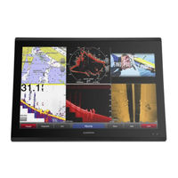
Home Screen10
-
Presets11
-
-
-
-
-
Destinations18
-
Waypoints18
-
Routes19
-
Tracks21
-
Boundaries22
-
-
Sail Racing23
-
-
Wind Hold24
-
-
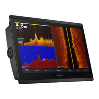
Sonar Setup29
-
Radar
31-
Marpa32
-
VRM and EBL33
-
-
-
-
-
-
-
-
Appendix
54-
Screenshots55
-
Index
58
Advertisement
Garmin GPSMAP 8600 series Owner's Manual (82 pages)
Brand: Garmin
|
Category: Marine GPS System
|
Size: 7.59 MB
Table of Contents
-
-
Memory Cards11
-
-
Home Screen11
-
-
Presets13
-
-
-
-
-
Chart Menu21
-
Chart Layers21
-
-
-
-
Destinations25
-
Waypoints26
-
Tracks29
-
Boundaries30
-
-
-
Sonar Alarms38
-
GPS Settings65
-
Appendix
71-
Screenshots73
-
Location74
-
Index78

Garmin GPSMAP 8600 series Owner's Manual (69 pages)
Table of Contents
-
Chart Menu13
-
Chart Layers13
-
Media Player46
-
VHF Radio47
-
DAB Playback47
Advertisement

Garmin GPSMAP 8600 series Installation Instructions Manual (9 pages)
Brand: Garmin
|
Category: Car Navigation system
|
Size: 1.14 MB
Table of Contents

