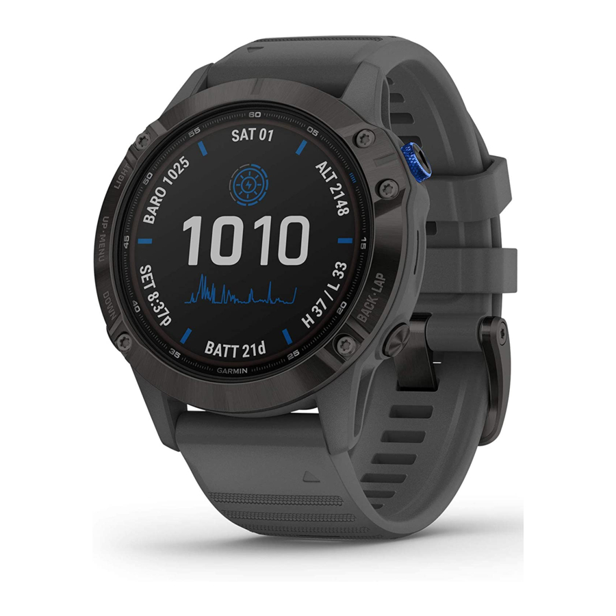
Garmin Fenix Owner's Manual
Hide thumbs
Also See for Fenix:
- Owner's manual (18 pages) ,
- Quick start manual (18 pages) ,
- How-to (8 pages)
Table of Contents
Advertisement
Quick Links
Advertisement
Table of Contents

Related Manuals for Garmin Fenix


Summary of Contents for Garmin Fenix
- Page 1 fēnix ™ Owner’s Manual May 2013 190-01507-00_0B Printed in Taiwan...
- Page 2 Garmin. The Bluetooth ® word mark and logos are owned by the Bluetooth SIG, Inc. and any use of such marks by Garmin is under license. Mac ® is a registered trademark of Apple Computer, Inc. Windows ® is a registered trademark of Microsoft Corporation in the United States and other countries. Other trademarks and trade names are those of their respective owners.
-
Page 3: Table Of Contents
Saving an Activity as a Track ..........10 Viewing Details about the Track ..........4 Deleting an Activity .............. 10 Clearing the Current Track ............ 4 Using Garmin Connect ............10 Deleting a Track ..............4 ANT+ Sensors.............. 10 Sending and Receiving Data Wirelessly ........4 Pairing ANT+ Sensors ............. - Page 4 Replacing the Heart Rate Monitor Battery ......12 Caring for the Heart Rate Monitor ..........13 Data Management ..............13 File Types ................13 Disconnecting the USB Cable ..........13 Deleting Files ................13 Troubleshooting ............... 13 Locking the Keys ..............13 Resetting Your Device ............
-
Page 5: Introduction
Introduction Keys WARNING Always consult your physician before you begin or modify any exercise program. See the Important Safety and Product Information guide in the product box for product warnings and other important information. Getting Started When using your device the first time, you should complete these tasks to set up the device and get to know the basic features. -
Page 6: Turning On A Sensor Mode
TIP: To purchase a tempe™ wireless temperature sensor, go based on how you are using it. For example, the settings and to www.garmin.com. When you have the tempe paired with views are different when you are using the device when hiking the fēnix... -
Page 7: Deleting A Profile
Any changes you make are saved to the active profile. Deleting a Profile Select the Orange key. Select Setup > Profiles. Select a profile. Select Delete > Yes. Waypoints, Routes, and Tracks The two pointer marks serve as a bearing pointer. The top Waypoints orange mark points in the direction you are facing. -
Page 8: Routes
Select the Orange key. Before you can share data wirelessly, you must be within 10 Select Routes. feet (3 m) of a compatible Garmin ® device. Select a route. Your device can send or receive data when connected to Select Delete > Yes. -
Page 9: Navigation
You can use BaseCamp to create and Select the Orange key. manage your adventures. For more information, go to Select an option: http://adventures.garmin.com. • Select Set Course to navigate to the distant object. • Select Project (page... -
Page 10: Altimeter And Barometer
Select the Orange key. A chirp is a small Garmin accessory that is programmed and left in a geocache. You can use your device to find a chirp in a Select Setup > Sensors > Mode > Always On. -
Page 11: Using The Stopwatch
You can set minimum and maximum heart The Setup menu contains numerous ways to customize your rate values or select zone changes. See device. Garmin recommends that you take the time to page 11 page familiarize yourself with the settings for each feature. If you take... -
Page 12: Customizing The Main Menu
You can change the active profile and edit your profiles System (WAAS) GPS signals. For information about WAAS, (page go to www.garmin.com/aboutGPS/waas.html. Fitness You can turn on Auto Lap, customize your fitness user Hot Keys: Allows you to customize the hold function of the... -
Page 13: Altimeter Settings
• FIT records additional information such as lap data and is used to record a track greater than 10,000 points. FIT files Altimeter Settings can be uploaded to Garmin Connect™ and are much Select Setup > Sensors > Altimeter. more compact than GPX files. -
Page 14: About Lifetime Athletes
Select an activity. (page Select Delete > Yes. • Select Setup > Tracks > Output to set your output format if you plan to manage your fitness activities using Garmin Using Garmin Connect Connect (page Connect the device to your computer using the USB cable. -
Page 15: About Heart Rate Zones
2.4 Ghz cordless phones, and wireless LAN access points. The Garmin logo should be right-side up. • Replace the battery (page 12). Bring the device within range (3 m) of the heart rate monitor. -
Page 16: Foot Pod Calibration
(page 10). Battery type User-replaceable CR2032, 3 volts Garmin recommends manual calibration if you know your Battery life Up to 4.5 years (1 hour per day). When the battery is low, a message appears on your calibration factor. If you have calibrated a foot pod with another compatible Garmin device. -
Page 17: Caring For The Heart Rate Monitor
• Files from BaseCamp or HomePort™. Go to • Go to http://buy.garmin.com, or contact your Garmin dealer www.garmin.com/trip_planning. for information about optional accessories and replacement • GPI custom POI files from the Garmin POI Loader. Go to parts. www.garmin.com/products/poiloader. • GPX track files. - Page 18 AVG HR (average heart rate): The average heart rate for the GRADE: The calculation of rise (elevation) over run (distance). current activity. For example, if for every 10 feet (3 m) you climb you travel 200 feet (60 m), the grade is 5%. AVG HR % (average heart rate percentage): The average percentage of maximum heart rate for the current activity.
-
Page 19: Data Pages
STOPWATCH: The stopwatch time for the current activity. the product. Title, ownership rights, and intellectual property rights in and to the Software remain in Garmin and/or its third- SUNRISE: The time of sunrise based on your GPS position. party providers. -
Page 20: Heart Rate Zone Calculations
Sensor Fixed Variable Altimeter with GPS On Elevation is equal to GPS elevation. Elevation reflects changes in ambient pressure and GPS position. Barometer with GPS On Barometric pressure reading reflects changes in Barometric pressure reading reflects changes in ambient pressure and changes in GPS position. Using ambient pressure and changes in GPS position. -
Page 21: Index
10 fishing times 7 screen 9 fitness 9, 10 settings 7–10, 13 foot pod 11, 12 sharing data 4 Sight 'N Go 5 software Garmin Connect, storing data 10 updating 12 geocaches 4–6, 10, 13 version 12 downloading 6 software license agreement 12, 15 navigating to 6 specifications 12 GPS 8, 12 speed 4 signal 1, 2, 7 speed and cadence sensors 2... - Page 22 1200 East 151st Street Olathe, Kansas 66062, USA Garmin (Europe) Ltd. Liberty House, Hounsdown Business Park Southampton, Hampshire, SO40 9LR UK Garmin Corporation No. 68, Zhangshu 2nd Road, Xizhi Dist. New Taipei City, 221, Taiwan (R.O.C.) © 2012–2013 Garmin Ltd. or its subsidiaries...