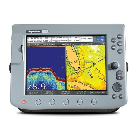
Raymarine C120 Operating Manual
C-series display
Hide thumbs
Also See for C120:
- New features manual (54 pages) ,
- Installation manual (54 pages) ,
- Reference manual (244 pages)
Table of Contents
Advertisement
Advertisement
Table of Contents

Related Manuals for Raymarine C120


Summary of Contents for Raymarine C120
-
Page 2: The Control Panel
General Operation The control panel Card No. 1 DATA ACTIVE Press to access When multiple windows are open: ruler, chart vectors, - Press to select required window. archive & transfer - Press and hold to maximize current and data bar window. -
Page 3: Buttons
Simulator: To practice using your Display without data from a GPS scanner or fishfinder, switch on the simulator via the System Setup menu. PAGE... -
Page 4: Setting Up The Display
General Operation Setting up the display Card No. 3 How do I select how the applications are displayed? The applications are shown using a combination of page sets, pages and windows. There are five page sets each containing five pages with a combination of windows and applications in each. These sets can be edited to define the combination that suits your particular needs. - Page 5 DO NOT remove card during either a read or write operation. How do I insert a CompactFlash card? Check that you are using the correct type of card. Raymarine recommend Navionics Chart cards or SANDISK CompactFlash cards. Open the chart card door, located on the front left of the display.
-
Page 6: Understanding The Chart
What can I see? Understanding the chart Card No. 5 What can I use the chart for? Find where you are. Interpret your surroundings. Place waypoints at specific locations. Navigate to a specific point. Monitor where you are going. Chart range Chart orientation Motion mode North-Up (Relative Motion) Port point... -
Page 9: Working With Waypoints
Basic Navigation Working with Waypoints Card No. 8 What is a waypoint? A waypoint is a position marked on a chart, radar or fishfinder screen to indicate a site (for fishing, diving etc), or as a position to go to. You can place a waypoint at the cursor position, your boat's position or at a specified position. - Page 11 What is around me? Understanding the radar Card No. 10 What does the radar show me?... Orientation Data bar Range Head-Up Range ring Boat's position Landmass VRM/EBL... TRACKING... Typically your boat's position is at the centre of the display, and its dead ahead bearing is indicated by a vertical heading line, known as the Ship's Heading Marker (SHM).
- Page 13 What is around me? Using MARPA... Card No. 12 What is MARPA? Mini Automatic Radar Plotting Aid (MARPA) functions are used for target tracking and risk analysis. MARPA improves your standards of collision avoidance by obtaining detailed information for up to 10 targets, and provides continuous and rapid situation evaluation.
-
Page 14: Using Ais
AIS will augment your radar application, as it can operate in radar blind spots. In order to use the AIS feature, you will need a GPS and compass for timing and position information together with data from a suitable AIS receiver. - Page 15 Where am I? Monitoring a course... Card No. 14 How do I monitor my course?... Your course is shown on the chart application whilst motion mode is active. Using COG and heading vectors (Press DATA - CHART VECTORS - COG/HDG VECTORS). Use the Course Deviation Indicator (CDI).
- Page 17 What's under the boat? Using the fishfinder... Card No. 16 How do I change the range or shift the image? Your system automatically adjusts the display depth range, selecting the shallowest depth that keeps the bottom on the lower half of the window. You can however, set this manually if required and move the image within the selected page up or down.
-
Page 18: Monitoring Data And Engines
Monitoring data and engines Navtex Card No. 17 How do I monitor data? NAVIGATION WAYPOINT How do I monitor the engine(s)? ENGINE ENGINE & FUEL Navtex If connected to a Navtex receiver, you can use your display to view weather forecasts and marine warnings. Details of these alerts are displayed whenever an incoming message is received for the alert categories you have specified. - Page 19 Raymarine Ltd Raymarine Inc. Quay Point 21, Manchester Street, Northarbour Road, Merrimack, Portsmouth, Hampshire NH 03054-4801 England PO6 3TD +44 (0)23 9269 3611 1-800-539-5539 www.raymarine.com www.raymarine.com Document No 86090_4. D6826_4...